Algeria
 Egypt
 Libya
 Morocco
 Sudan
 Tunisia
 Benin
 Burkina Faso
 Cabo Verde
 Côte d'Ivoire
 Ghana
 Guinea
 Guinea-Bissau
 Liberia
 Mali
 Mauritania
 Niger
 Nigeria
 Senegal
 Sierra Leone
 The Gambia
 Togo
 Cameroon
 Central African Republic
 Chad
 Equatorial Guinea
 Gabon
 Republic of the Congo
 São Tomé and Príncipe
 Burundi
 Comoros
 Djibouti
 Eritrea
 Ethiopia
 Kenya
 Madagascar
 Malawi
 Mauritius
 Mozambique
 Rwanda
 Seychelles
 Somalia
 South Sudan
 Tanzania
 Uganda
 Angola
 Botswana
 Eswatini
 Lesotho
 Namibia
 South Africa
 Zambia
 Zimbabwe
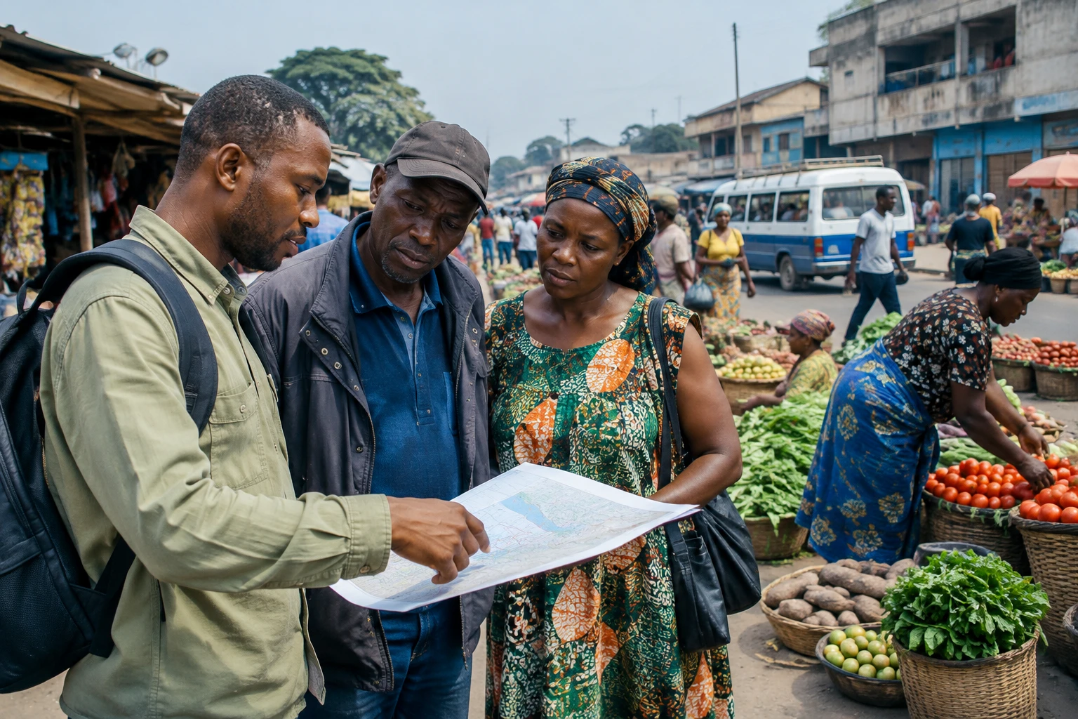
Can a vast forest corridor protect ecosystems while improving living conditions if extractive activities overlap with its territory? In the Democratic Republic of the Congo (DRC), the question directly affects communities living nearby, as well as the country’s economic and climate policy choices.
A project linking the country’s east and west
Announced by President Félix Tshisekedi at the World Economic Forum in Davos on 22 January 2025, the Kivu-Kinshasa Green Corridor is a protected area intended to serve as a community reserve. The decree establishing it dates from 15 January 2025. The project covers around 544,000 square kilometres, stretching from North Kivu to Kinshasa and crossing nine provinces, according to official documents and available analysis.
The authorities present the initiative as a way to preserve the forests of the Congo Basin and support a green economy. Its stated ambitions include protecting primary forests and peatlands, as well as investing in agriculture, renewable energy and logistics. The Presidency has also referred to transporting one million tonnes of food annually from the Kivus to Kinshasa. These are announced goals, whose achievement will depend on infrastructure, funding and conditions on the ground.
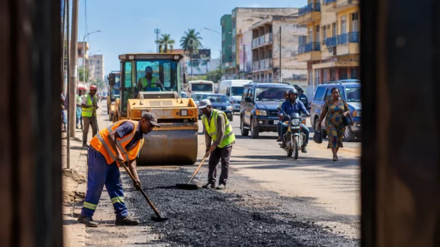
The corridor’s scope goes beyond conservation. A planned road between Beni and Kisangani, the RN4, could facilitate trade between the east and centre of the country. But new infrastructure can also open up forest areas that were previously less accessible. In a review of protected areas, the Congolese Environment Ministry acknowledges that community participation, governance and management capacity remain challenges to be addressed.
Overlaps fuel debate
A report published in October 2026 by Climate Rights International examines the risks to the environment and people’s rights. Its senior researcher, Fabien Offner, points to a tension between the stated conservation goal and the presence of rights or projects relating to hydrocarbons, mining and logging. The organisation is calling, in particular, for overlaps to be clarified and for the rights of local communities and Indigenous peoples to be protected.
Greenpeace Africa, for its part, published an analysis in July 2026 claiming that 72% of the corridor overlaps with oil blocks and that mining concessions cover 23% of its area. The organisation estimates that 12.3 million hectares of mining concessions lie within the perimeter. These figures describe overlaps on maps: on their own, they do not prove that extractive operations are taking place on every parcel concerned.
The Congolese government disputes how these data are being interpreted. In a response reported by the Congolese Press Agency on 26 September 2026, the Environment Ministry stressed that an overlap on a map does not automatically mean activity is taking place on the ground. It says a distinction must be made between proposed blocks and allocated licences, exploration permits and exploitation rights, and pre-existing rights and new authorisations. The ministry also says it is undertaking mapping and arbitration work.
The positions are therefore not identical. Greenpeace highlights the risk that extractive expansion could undermine ecological goals. The authorities stress the need to verify licences and the right to development. The decisive step will be to publish comparable cadastral data, followed by transparency over decisions taken for each area. Without this basis, debate risks conflating permits, proposed projects and activities actually under way.
Communities at the heart of implementation
The decree establishing the corridor provides that pre-existing rights will not automatically disappear when it is created. It also stipulates that, for certain projects subject to an environmental and social assessment, the free, prior and informed consent of local communities and Indigenous peoples must be respected. The question is a practical one: who takes part in decisions, how are land uses recognised, and what benefits go to residents?
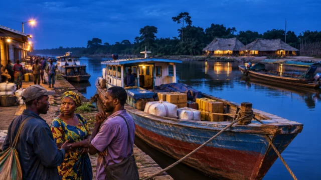
Potential effects will vary from one area to another. Agricultural producers could gain better market access if transport links and facilities are delivered. Conversely, poorly planned restrictions could limit access to land, forests or resources on which households depend. Mining or oil activities, where authorised and actually carried out, can generate income and jobs, but can also put pressure on soil, water and livelihoods. Rules and oversight will largely determine how these costs and benefits are distributed.
The challenge is also institutional. The corridor crosses several provinces and encompasses government administrations, protected areas and inhabited territories. Shared governance therefore requires clear roles for the state, local authorities, conservation bodies and communities. It must be based on accessible consultations and grievance mechanisms, rather than relying solely on the announcement of national or international goals.
At stake for the Congo Basin
For several years, the DRC has promoted its image as a climate “solution country”, highlighting its forests and peatlands. The Green Corridor could give practical expression to this ambition, provided the promised protection is accompanied by enforceable rules and tangible benefits for the population. The aim is not simply to preserve a carbon store: land rights, livelihoods and residents’ participation must also be guaranteed.
The issue resonates across Central Africa, because the Congo Basin’s ecosystems extend beyond national borders and land-use choices influence regional climate commitments. For financial partners, the question is whether funding for conservation is consistent with decisions authorising activities in the same areas. For Kinshasa, the challenge is to reconcile economic sovereignty, infrastructure development and long-term protection.
The next decisive step will therefore be not another promise but a documented process of arbitration: establishing the boundaries and licences concerned, making consultations public, and then specifying which activities will be permitted, prohibited or subject to conditions. It is at this level that it will be possible to judge whether the Green Corridor becomes a tool for shared development or remains an ambition challenged by competing uses of the land.