Algeria
 Egypt
 Libya
 Morocco
 Sudan
 Tunisia
 Benin
 Burkina Faso
 Cabo Verde
 Côte d'Ivoire
 Ghana
 Guinea
 Guinea-Bissau
 Liberia
 Mali
 Mauritania
 Niger
 Nigeria
 Senegal
 Sierra Leone
 The Gambia
 Cameroon
 Central African Republic
 Chad
 DR Congo
 Equatorial Guinea
 Gabon
 Republic of the Congo
 São Tomé and Príncipe
 Burundi
 Comoros
 Djibouti
 Eritrea
 Ethiopia
 Kenya
 Madagascar
 Malawi
 Mauritius
 Mozambique
 Rwanda
 Seychelles
 Somalia
 South Sudan
 Tanzania
 Uganda
 Angola
 Botswana
 Eswatini
 Lesotho
 Namibia
 South Africa
 Zambia
 Zimbabwe
When a map says more than an atlas
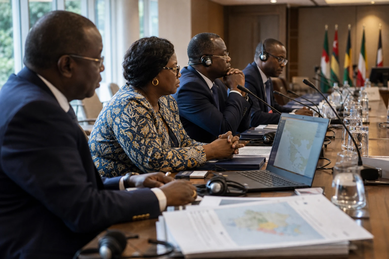
In New York, an apparently technical vote carried a clear political charge: the way the world is drawn influences how it is understood. For Togo, which led the campaign on behalf of the African Group, the issue goes beyond cartography. It is also about restoring a degree of symbolic fairness to a continent often shown at a scale that does not reflect its true size.
This episode forms part of a momentum already under way on the continent. In February 2026, the African Union endorsed the “Correct the Map” initiative, presented as a long-overdue correction to projections that visually shrink Africa. The African community did not discover the issue when the General Assembly voted: it had prepared for it, championed it and put it on the diplomatic agenda.
A resolution led by Lomé and approved in New York
On Friday 4 September 2026, the United Nations General Assembly adopted a resolution urging member states and international institutions to favour map projections that more accurately reflect land areas, notably Equal Earth, over the Mercator projection, historically used for navigation but misleading in its depiction of relative sizes. The resolution does not ban Mercator or impose a legal obligation; it encourages a change in practice.
The vote was overwhelming: 164 votes in favour, one against and six abstentions, according to reports based on the General Assembly ballot. The United States was the only country to vote against. Several delegations also stressed in the chamber that the Equal Earth projection, designed to represent areas more accurately, does not suit every mapping purpose, but does correct a major distortion in the perception of the African continent.
Togo’s Ministry of Foreign Affairs presented the result as the culmination of a diplomatic campaign waged “on behalf of Africa”. Robert Dussey, Togo’s foreign minister, argued that a map is not merely a technical object but also a tool of representation that shapes perceptions. The official website of Togo’s diplomacy and the Togolese presidency echoed this view, highlighting Lomé’s role in preparing the text submitted to the United Nations.
What the battle over projections changes in practice
The core of the debate is simple. Mercator was designed in the 16th century to aid maritime navigation. The projection preserves angles, but enlarges territories the farther they are from the equator. Africa, South America and Asia often appear smaller than they are, while Europe and North America gain visual prominence. This has real consequences for school textbooks, digital platforms, diplomatic materials and public communications.
In practice, the resolution adopted at the UN will not erase this long-standing bias at a stroke. Rather, it opens the way to gradual standardisation. If UN agencies, ministries, school publishers and digital mapping companies follow the recommendation, the mental image of Africa may change. The shift would be subtle at first, but lasting. It would affect educational and institutional uses first, followed by public use.
The African Union’s response confirmed that this issue goes beyond technical considerations. Addis Ababa sees it as a lever for “fairer representation” of the continent, in line with Agenda 2063, Africa’s transformation roadmap. The AU thus links cartography to a broader struggle: over Africa’s place in knowledge, narratives and global institutions.
Togo, for its part, also stands to gain clear diplomatic benefits from this episode. Lomé is presenting itself as a country able to turn a symbolic issue into a structured multilateral agenda. For a medium-sized West African state, the ability to unite a regional group around a global debate matters as much as the vote itself. It strengthens a visible theme in Togo’s diplomacy: exerting influence through initiative, not just size.
First a West African issue, then a continental one
At regional level, the episode also resonates with ECOWAS, even though the organisation was not directly behind the text. In West Africa, where debates on education, curricula and narrative sovereignty often recur in public discussions, a decision of this kind could inform practical choices in school programmes and cultural institutions. The signal from Lomé therefore extends beyond traditional diplomacy.
At continental level, the issue touches on how Africa sees itself and is seen. Correcting a map changes neither borders nor power relations, but it can challenge an old reflex: confusing visual representation with real-world hierarchy. In this case, the continent did not merely ask to be drawn more accurately. It asked to be seen without being diminished.
The next stage will play out in how maps are used. The United Nations, its agencies, education systems and major mapping platforms will have to decide whether to translate the vote into concrete practice. That is where the impact will become measurable: in the maps consulted by pupils, civil servants, researchers and citizens. And it is there, too, that the full African significance of Togo’s campaign will emerge.