Algeria
 Egypt
 Libya
 Morocco
 Sudan
 Tunisia
 Benin
 Burkina Faso
 Cabo Verde
 Ghana
 Guinea
 Guinea-Bissau
 Liberia
 Mali
 Mauritania
 Niger
 Nigeria
 Senegal
 Sierra Leone
 The Gambia
 Togo
 Cameroon
 Central African Republic
 Chad
 DR Congo
 Equatorial Guinea
 Gabon
 Republic of the Congo
 São Tomé and Príncipe
 Burundi
 Comoros
 Djibouti
 Eritrea
 Ethiopia
 Kenya
 Madagascar
 Malawi
 Mauritius
 Mozambique
 Rwanda
 Seychelles
 Somalia
 South Sudan
 Tanzania
 Uganda
 Angola
 Botswana
 Eswatini
 Lesotho
 Namibia
 South Africa
 Zambia
 Zimbabwe
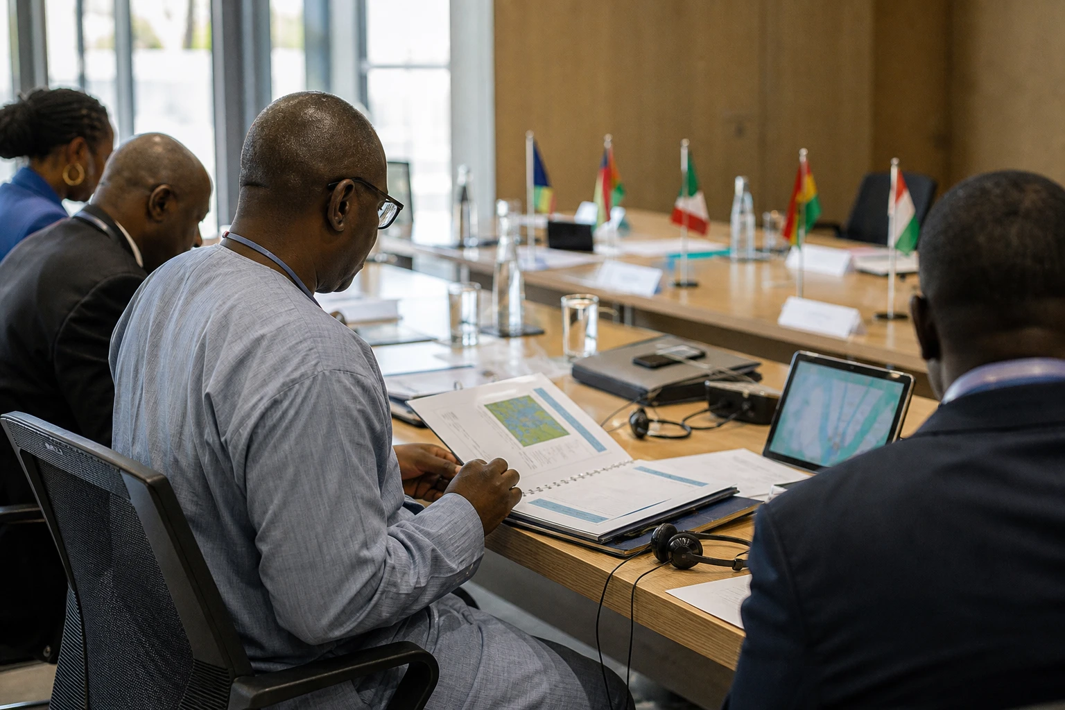
In Yamoussoukro and the producing regions, the question is no longer simply how much forest Côte d’Ivoire has. It is also necessary to measure, almost in real time, what is disappearing, what is being restored and what is changing on agricultural land. This is the aim of the partnership concluded between the Ministry of the Environment and Ecological Transition and TerraKora AI.
An Ivorian agreement to improve ecosystem monitoring
Ivorian Minister of the Environment and Ecological Transition Abou Bamba signed a framework agreement with TerraKora AI Côte d’Ivoire on Friday 2 October 2026. The company develops geospatial tools and artificial intelligence solutions for natural resource management, land restoration and the carbon market.
The partnership is planned to run for an initial period of twenty-four months. It is intended to strengthen the country’s capacity to produce regularly updated environmental data. The aim is then to use it in the preparation of public policies, the monitoring of restoration programmes and the search for funding linked to the ecological transition.
The system will draw on several complementary sources. Satellite images will provide a broad view of the territory. Field surveys will make it possible to verify observations. Artificial intelligence tools will then help process large volumes of data and identify ecosystem changes more quickly.
The Ivorian government says the National Bureau of Technical Studies and Development (BNETD), through its Centre for Geographic Information and Digital Technology, will be involved in implementation. This involvement is important. It could encourage national administrations to take ownership of the tools and limit dependence on data produced exclusively from outside the country.
A response to pressure on forest cover
Côte d’Ivoire already has a detailed national assessment, but it needs to be updated regularly. The results of the National Forest and Wildlife Inventory, presented in 2021, estimated forest cover at 2.97 million hectares, or 9.2 % of the national territory.
This area represents a major decline compared with previous decades. A review published in the journal Bois et forêts des tropiques estimates, in particular, that Ivorian forest covered about 7.85 million hectares in 1986. The same study puts the average rate of deforestation at 2.8 % a year since that period.
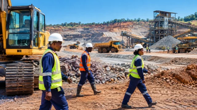
These figures do not describe a uniform reality. Pressures vary from one region to another. In the south and east, forest areas are closely linked to the expansion of crops such as cocoa, rubber and oil palm. In the centre and north, cashew, cotton, livestock farming and gold mining can rapidly change land use.
More frequent monitoring should therefore make it possible to distinguish between several situations. It can identify recent deforestation, measure the expansion of a plantation, verify the regeneration of a plot or detect degradation in a classified forest. For local authorities, however, the tool’s value will depend on its ability to turn these alerts into concrete decisions.
Côte d’Ivoire has set itself the goal of increasing forest cover to at least 20 % of its territory by 2030. To achieve this, it will need to combine the protection of existing forest areas, the restoration of degraded land and better control of agricultural expansion. Data will not replace field inspections. It can, however, make them more targeted and faster.
From cocoa to carbon, applications beyond conservation
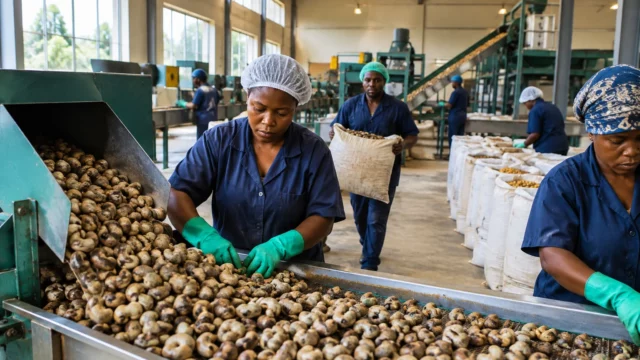
The partnership also concerns Côte d’Ivoire’s major agricultural sectors. Cocoa, coffee, cashew and rubber are at the heart of the country’s economy. They are also subject to growing environmental traceability requirements, particularly regarding the origin of plots and compliance with forest areas.
More accurate maps can help document agroforestry practices. They can also make it easier to identify plots located in sensitive areas. For producers, the question will be how this information is used, who can access it and what consequences it will have for their activities.
The system’s success will therefore depend on transparency safeguards. Satellite data can show changes in vegetation cover, but it is not always enough to explain their causes. A plot may change following clearing, a fire, crop rotation or a restoration operation. Human verification will remain necessary.
The carbon market is another potential application. In this sector, MRV — measurement, reporting and verification — is used to demonstrate that the emissions reductions or removals claimed by a project are real. A national digital system could improve the quality of monitoring of plantations, restored forests and carbon stocks.
This prospect nevertheless raises a question of sovereignty. Carbon credits represent a potential source of funding, but their credibility depends on robust and accessible methods. Côte d’Ivoire will therefore need to ensure that it retains control of its data, clarifies the rights of the communities concerned and publishes verifiable results.
A national issue within a West African trend
Côte d’Ivoire’s approach comes amid regional efforts to secure more reliable environmental data. The countries of the Economic Community of West African States (ECOWAS) face different pressures, but these are linked by agricultural trade, rural migration and the effects of climate change.
Changes in forest cover in Côte d’Ivoire can have consequences beyond its borders. They affect cocoa and cashew supply chains. They also influence rural incomes, water availability and the ability of communities to withstand heatwaves or intense rainfall.
For rural populations, the expected benefits will be tangible only if the information produced improves access to services, secures land rights and directs investment towards sustainable practices. For administrations, the priority will be to link maps to development plans, inspections and budgets. For businesses, traceability will be credible only if it covers the entire chain, from producer to exporter.
The coming months will show the agreement’s real scope. It will be necessary to assess the first maps produced, how often they are updated, the role of BNETD and the place given to local stakeholders. The issue goes beyond technical modernisation. It is about building lasting Ivorian capacity to understand its ecosystems, protect its resources and document its climate commitments.