Algeria
 Egypt
 Libya
 Morocco
 Sudan
 Tunisia
 Benin
 Burkina Faso
 Cabo Verde
 Côte d'Ivoire
 Ghana
 Guinea-Bissau
 Liberia
 Mali
 Mauritania
 Niger
 Nigeria
 Senegal
 Sierra Leone
 The Gambia
 Togo
 Cameroon
 Central African Republic
 Chad
 DR Congo
 Equatorial Guinea
 Gabon
 Republic of the Congo
 São Tomé and Príncipe
 Burundi
 Comoros
 Djibouti
 Eritrea
 Ethiopia
 Kenya
 Madagascar
 Malawi
 Mauritius
 Mozambique
 Rwanda
 Seychelles
 Somalia
 South Sudan
 Tanzania
 Uganda
 Angola
 Botswana
 Eswatini
 Lesotho
 Namibia
 South Africa
 Zambia
 Zimbabwe
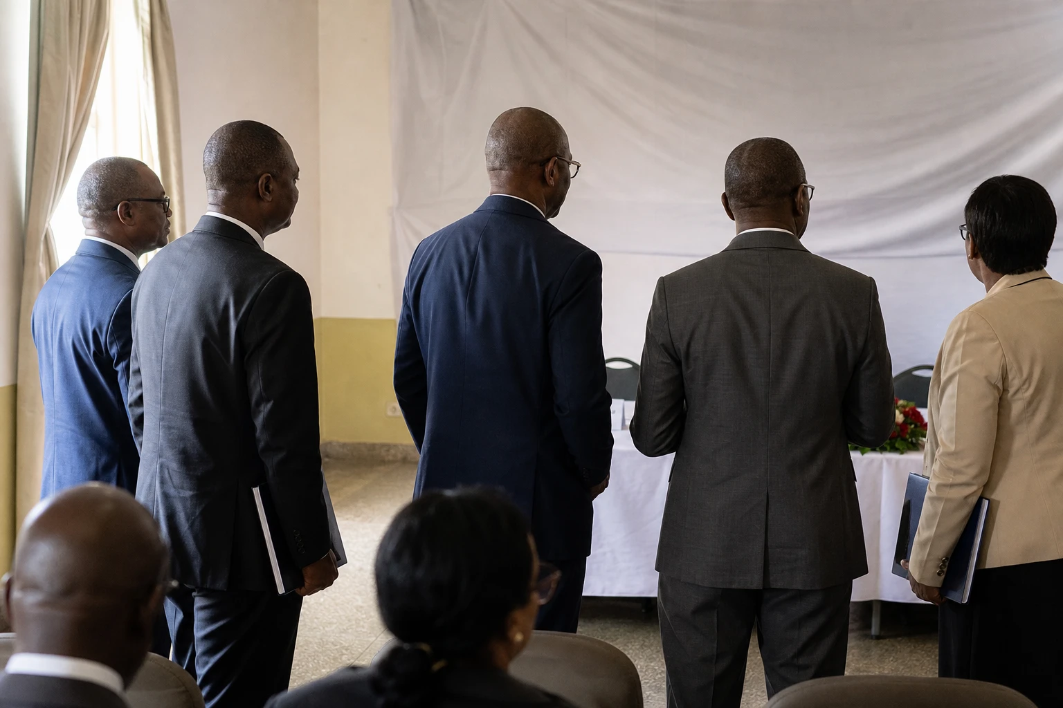
A long-awaited route in northern Guinea
In northern Guinea, roads are about more than tarmac. They determine transport costs, access to markets and whether harvests can get out. When a route is slow, fragile or seasonal, an entire local economy moves at a crawl.
It is against this backdrop that Conakry is stepping up infrastructure development in the country’s interior. The project targets an area where trade with neighbouring Senegal has long existed, but where major transport links have often been lacking. In Guinea, the issue is all the more sensitive because ECOWAS, the Economic Community of West African States, also depends on the smooth flow of regional corridors.
The Guinean government signed a €300 million financing agreement with Bank of Africa on 22 July 2026 to build the Labé–Tougué road and the Benty–Koubia spur, covering a reported distance of about 161 kilometres. The project also includes civil engineering structures, including a bridge over the Bafing River, according to the Ministry of Economy and Finance. The same source describes the project as a cornerstone of the Simandou 2040 programme, the economic roadmap promoted by the authorities.
Labé, Tougué, Koubia: roads linking agriculture to markets
The choice of this route is no coincidence. The area is home to significant agricultural and livestock activities. It produces maize, fonio, groundnuts and potatoes, among other crops. Cattle, sheep and goats also play a central role. But without reliable roads, some of this value is realised too late, too far away or at excessive cost.
The project must therefore do more than connect points on a map. It is intended to cut journey times, make passenger transport safer and reduce dependence on the seasons for trade. In inland prefectures, the expected impact will be felt first by rural households, small traders, transport operators and producers. In Conakry, however, the project is also seen in terms of opening up the region and strengthening territorial cohesion.
Guinea’s road network is extensive but unevenly developed. Data cited by public institutions and technical organisations put its total length at about 45,300 km, of which just under a third is paved. The commonly cited breakdown comprises 7,576 km of national roads, 15,876 km of prefectural roads, 19,846 km of community roads and about 2,000 km of urban roads. The challenge, then, is not only to launch new projects. It is also to maintain, pave and connect an already dispersed network.
Nationwide, this investment is part of a broader strategy already visible on other routes. Reconstruction of the RN5 between Mamou and Labé began in late November 2025, a sign that Middle Guinea has become a priority area for infrastructure catch-up. The authorities have also linked several transport and connectivity projects to the Simandou 2040 programme, presented as the backbone of the country’s economic transformation.
What the financing says about Guinea’s approach
The involvement of Bank of Africa illustrates a hybrid financing model in which regional banks and partners linked to Islamic finance are playing an increasingly important role. The project also involves ICIEC, the investment and export credit insurance provider affiliated with the Islamic Development Bank Group. For Conakry, this matters as much as the amount itself. The message is that it can structure complex financing for major projects.
But a road does not automatically generate development. Everything depends on the timetable, execution and maintenance. In Guinea, as elsewhere in West Africa, late payments, land issues and pressure on public budgets have often slowed projects that were considered strategic. The project’s significance will therefore be measured less by the signing ceremony than by the quality of the earthworks, the supervision of structures and the corridor’s actual opening to traffic.
For local industries, the stakes are immediate. A passable road cuts logistics costs, improves access to inputs and makes it easier to get goods to urban or cross-border markets. For livestock farmers, it also reduces losses caused by isolation. For the state, it strengthens the public presence in an area sometimes seen as far from decision-making centres. This is a major political issue in a country where the capital, Conakry, still concentrates much of the infrastructure, formal employment and services.
The bridge over the Bafing also adds a significant geographical dimension. The river shapes the territory and makes travel difficult where crossings are lacking. The bridge is not a technical detail. It is what turns a succession of road sections into a genuine corridor. In a region where several countries are seeking to boost domestic trade even before developing major mining or port corridors, this approach could inspire other ECOWAS states facing the same choices between major projects, network maintenance and opening up rural areas.
In the short term, attention will focus on the actual start of work, mobilisation timelines and coordination between ministries, companies and lenders. In the medium term, the real question will be simple: will this northern corridor remain an announced project, or become a lasting means of circulation, trade and territorial integration for Guineans and the sub-region?