Algeria
 Egypt
 Libya
 Morocco
 Sudan
 Tunisia
 Benin
 Burkina Faso
 Cabo Verde
 Côte d'Ivoire
 Guinea
 Guinea-Bissau
 Liberia
 Mali
 Mauritania
 Niger
 Nigeria
 Senegal
 Sierra Leone
 The Gambia
 Togo
 Cameroon
 Central African Republic
 Chad
 DR Congo
 Equatorial Guinea
 Gabon
 Republic of the Congo
 São Tomé and Príncipe
 Burundi
 Comoros
 Djibouti
 Eritrea
 Ethiopia
 Kenya
 Madagascar
 Malawi
 Mauritius
 Mozambique
 Rwanda
 Seychelles
 Somalia
 South Sudan
 Tanzania
 Uganda
 Angola
 Botswana
 Eswatini
 Lesotho
 Namibia
 South Africa
 Zambia
 Zimbabwe
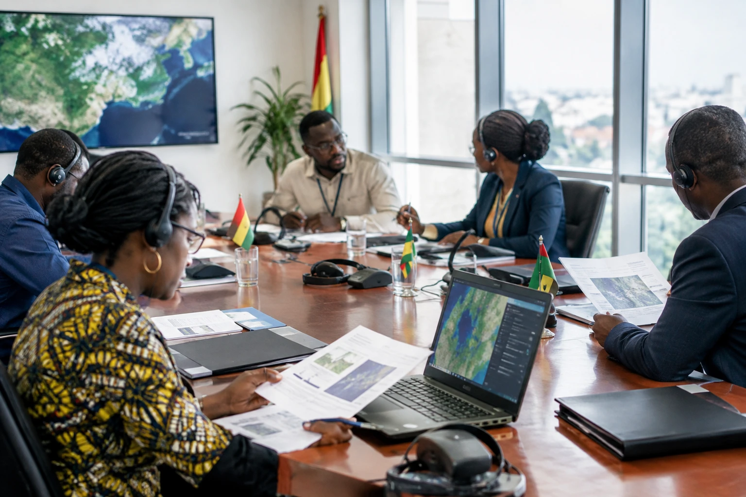
For a farmer anticipating a drought, an administration monitoring floods or an authority confronting illegal mining, satellite imagery is useful only if it arrives on time and can be interpreted. Ghana wants to organise this chain by turning its space institute into a national agency.
Translating space policy into institutions
In Accra, the government is working on the legislation needed to create a Ghana Space Agency. Cabinet has approved the proposal, Environment, Science and Technology Minister Zanetor Agyeman-Rawlings said on 2 October 2026. The text still has to be drafted, so the agency has not yet been established by law.
The proposal provides for the Ghana Space Science and Technology Institute (GSSTI), currently part of the Ghana Atomic Energy Commission, to be transformed. The institute is already working in Earth observation, satellite communications and radio astronomy. The national space policy, approved by Cabinet and published in 2024, provides the overall framework for this change.
Ghana also has practical experience in satellite design. GhanaSat-1, a small experimental satellite developed by students and engineers at All Nations University with Japanese partners, was launched in 2017. This achievement should not, however, be confused with the current capacity to operate a national satellite to meet public agencies’ regular needs: the GSSTI director says the country still relies on third-party providers for some imagery.
Putting data to work for public agencies
According to GSSTI director Joseph Bremang Tandoh, several ministries currently use space data without sufficient coordination. An agency could pool procurement, image processing and distribution to public services. The aim is to limit duplication and better direct resources, particularly when agencies need comparable information on the same area.
The envisaged applications are highly practical: monitoring crops and water resources, forecasting floods, environmental surveillance and border observation. For local authorities and emergency services, up-to-date maps can help identify exposed areas and organise responses. In mining, imagery can help track changes to the land, without replacing field inspections or regulatory checks.
Creating an agency will not, however, in itself resolve the difficulties already identified by the institute: limited access to high-resolution imagery, insufficient funding and still modest processing capacity. The benefits will also depend on staff training, data availability and institutions’ ability to incorporate it into their day-to-day decisions.
The organisation will also need to clarify who is responsible for what. Satellite frequency regulation already falls to the National Communications Authority, while observation needs span several ministries, universities and businesses. An effective agency will therefore need to coordinate these actors without displacing existing areas of responsibility. Ghana’s space policy also identifies the need for ground-receiving stations, technical expertise and partnerships with the private sector.
Turning economic potential into useful services
Figures often cited for the sector describe possibilities, not guaranteed revenue for Ghana. A 2021 study by the World Economic Forum and Digital Earth Africa estimated that Earth observation data could generate more than $2 billion in annual value across Africa. It put potential gains linked to agriculture at about $900 million, with a comparable amount in possible savings from better regulation of gold mining.
These continental estimates do not forecast the benefits Ghana will secure. Turning them into results requires data suited to local realities, accessible tools and teams able to extract actionable information. Public administrations are not the only stakeholders: researchers, mapping businesses and agricultural actors could also develop services using satellite data.
The country is not starting from scratch. The GSSTI is already working on remote sensing, climate and radio astronomy; the university involved in GhanaSat-1 contributes to training in satellite engineering. But developing a sector requires linking research, public procurement, businesses and users’ needs, while avoiding a situation in which most of the value lies in buying services from abroad.
The regional challenge: sharing capacity without losing control
Ghana is part of a trend that extends beyond its borders. The African Union inaugurated the African Space Agency in Cairo in April 2025, with a mandate to support continental cooperation in space science and technology. In West Africa, ECOWAS — the regional economic integration organisation — also has work under way on geospatial data infrastructure. These frameworks can facilitate the sharing of expertise and information, particularly when natural hazards or ecosystems cross national borders.
Cooperation does not remove the issue of sovereignty. The question is less about immediately launching a national constellation than about knowing what data the country can obtain, process, store and use in line with its priorities. GhanaSat-1 shows that a university project can advance expertise; the agency proposal now raises the question of how to sustain and apply that expertise at scale.
The next step to watch is therefore legal: the government must draft the legislation that will define the future institution’s mandate, funding and responsibilities. Its content will show whether the agency will have the means to coordinate public bodies and support local expertise, or remain mainly another layer of institutional bureaucracy. For Ghanaians, the results will be measured above all by the quality of services delivered: earlier warnings, better-informed decisions and data genuinely accessible to those who need it.