Algeria
 Egypt
 Libya
 Morocco
 Sudan
 Tunisia
 Benin
 Burkina Faso
 Cabo Verde
 Côte d'Ivoire
 Ghana
 Guinea
 Guinea-Bissau
 Liberia
 Mali
 Mauritania
 Niger
 Nigeria
 Senegal
 Sierra Leone
 The Gambia
 Togo
 Cameroon
 Central African Republic
 Chad
 Equatorial Guinea
 Gabon
 Republic of the Congo
 São Tomé and Príncipe
 Burundi
 Comoros
 Djibouti
 Eritrea
 Ethiopia
 Kenya
 Madagascar
 Malawi
 Mauritius
 Mozambique
 Rwanda
 Seychelles
 Somalia
 South Sudan
 Tanzania
 Uganda
 Angola
 Botswana
 Eswatini
 Lesotho
 Namibia
 South Africa
 Zambia
 Zimbabwe
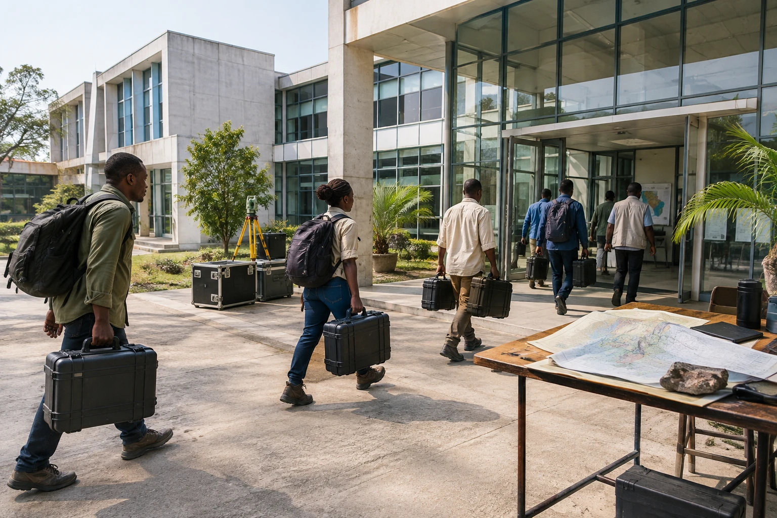
Knowing what lies beneath the ground is not enough to turn its resources into jobs and public revenue. But without reliable data, the Congolese state and the communities concerned have fewer means to decide where to explore, regulate mining activities and negotiate the development of the national heritage.
A national programme with regional stakes
The Democratic Republic of the Congo is a member of several regional groupings, including the Southern African Development Community (SADC), which brings together mineral-producing and processing countries. SADC is working in particular to strengthen mining cooperation and regional value chains. For DR Congo, a better understanding of its territory can therefore matter beyond its borders: decisions on exploration and processing influence trade and investment across the region. The list of SADC member states includes DR Congo.
The extractive sector accounts for a large share of the Congolese economy. The EITI-RDC report for 2023 estimates that it represented 37.9% of gross domestic product, 99.57% of exports and 29.29% of public revenue. These figures show both its importance and the economy’s dependence on extractive activities. They come from the 2023 report by the Extractive Industries Transparency Initiative.
Aerial surveys over three years
The government launched the DRC Airborne Geophysical and Geological Mapping Programme (PC2G-RDC) on 5 October 2026 in Kinshasa. The Congo National Geological Survey is coordinating the work under the supervision of the Ministry of Mines. The Mining Fund for Future Generations is financing it, while its implementation has been entrusted to Spain’s Xcalibur Multiphysics Group SL. The launch date and main details were reported by several Congolese media outlets, including Mining Congo and Le Tonnerre Magazine.
Scheduled to run for 36 months, the programme will deploy eight aircraft. They will collect magnetic, radiometric, gravimetric and electromagnetic data. These measurements can help identify certain underground structures, but do not, on their own, prove the presence of an exploitable deposit. The results will need to be analysed and supplemented by geological observations in the field.
Operations are expected to cover several provinces in stages, including Kongo Central, Kwango, Kwilu and Grand Kasaï, continuing work carried out in Grand Katanga. The programme also plans to train Congolese geologists, researchers, technicians and students. This component will be crucial: the value of the mapping will also depend on national institutions’ ability to preserve, interpret and update the data.
Data alone will not ensure benefits are shared
In Kinshasa, Mines Minister Louis Watum Kabamba presented the campaign as a way to reduce the cost, risk and time involved in exploration. Better maps could help investors target their searches and enable the administration to plan the allocation of permits. They could also bring to light areas that have so far been poorly documented.
But more geological information does not automatically guarantee better governance. Maps are no substitute for transparent contracts, oversight of operators or consultation with communities. People living near exploration areas may be directly affected by access to land and resources. For them, the issue is not limited to the possible arrival of a mine: it also concerns the information available, local benefits and environmental impacts.
The cost and rules governing implementation also warrant attention. Business media have reported that a contract signed with Xcalibur on 29 January 2026, for a later phase of the programme, was valued at about $297.9 million. This figure should not be confused with the launch of PC2G-RDC alone: it refers to a separate contractual agreement, described as phase B of a programme begun in 2017. The figures and chronology were reported, among others, by Bankable. Publishing the contracts, detailed costs and expected results will make it possible to track commitments over time.
Impact beyond the borders
PC2G-RDC is part of a regional competition over minerals and their processing. For SADC countries, the challenge is not to limit cooperation to exports of raw materials, but also to develop skills and processing activities. The Economic Commission for Africa highlights this priority in its analysis of value chains for transition minerals in Southern Africa. ECA emphasises local processing and responsible mining governance.
For DR Congo, the next step will therefore be less spectacular than the launch: producing verifiable data, making it useful to Congolese institutions and measuring the programme’s tangible benefits. The 36-month timetable provides a horizon for monitoring. Training, public access to the results and transparency over spending will show whether this mapping durably strengthens national control over the subsoil.