Algeria
 Egypt
 Libya
 Morocco
 Sudan
 Tunisia
 Benin
 Burkina Faso
 Cabo Verde
 Côte d'Ivoire
 Ghana
 Guinea
 Guinea-Bissau
 Liberia
 Mali
 Mauritania
 Niger
 Nigeria
 Senegal
 Sierra Leone
 The Gambia
 Togo
 Cameroon
 Central African Republic
 Chad
 Equatorial Guinea
 Gabon
 Republic of the Congo
 São Tomé and Príncipe
 Burundi
 Comoros
 Djibouti
 Eritrea
 Ethiopia
 Kenya
 Madagascar
 Malawi
 Mauritius
 Mozambique
 Rwanda
 Seychelles
 Somalia
 South Sudan
 Tanzania
 Uganda
 Angola
 Botswana
 Eswatini
 Lesotho
 Namibia
 South Africa
 Zambia
 Zimbabwe
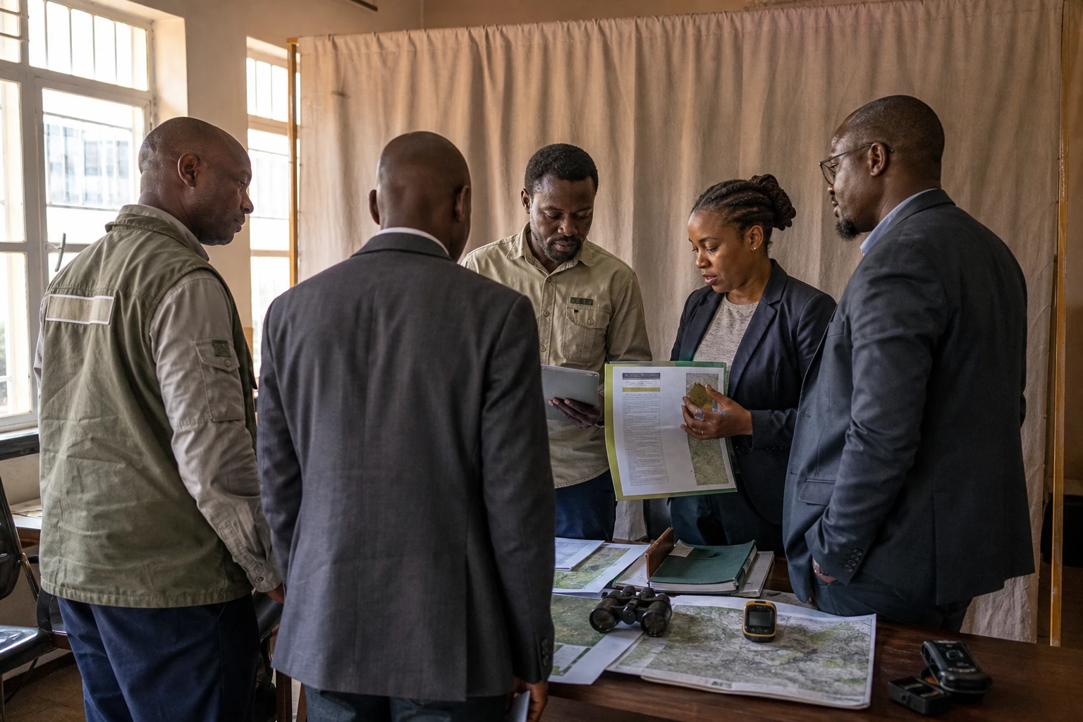
In eastern Democratic Republic of the Congo, the resumption of ecological monitoring is not yet enough to measure the scale of the damage in Kahuzi-Biega National Park. After nearly two years of monitoring disrupted by insecurity, the first available data point to continued pressure on the forest, water and Grauer’s gorilla habitat.
Monitoring resumes in a tense environment
Located mainly in South Kivu province, with extensions into North Kivu and Maniema, Kahuzi-Biega National Park covers nearly 6,000 square kilometres. It stretches from the high-altitude forests of the Kahuzi and Biega mountains to the lowland rainforest.
Listed as a UNESCO World Heritage Site since 1980, the park is one of the main refuges of Grauer’s gorilla, a species endemic to eastern Democratic Republic of the Congo and considered critically endangered. Its territory is also home to eastern chimpanzees, forest elephants and several rare plant and animal species.
As the security situation has deteriorated in North Kivu and South Kivu provinces, conservation teams have been unable to access several areas regularly. Park management said patrols had been suspended across a large part of the high- and low-altitude zones from February 2025. This interruption reduced the capacity to monitor animals, identify tree felling and document illegal occupation.
The park nevertheless resumed assessments of its natural resources at the beginning of 2026. The restart remains partial. It depends on access to the areas concerned and on developments in the security situation around Bukavu, the capital of South Kivu, and in neighbouring territories.
Early sign of deforestation, but figures must be distinguished
About 100 hectares of forest are estimated to have been cleared in the monitored area between January and March 2026, according to Fabrice Yapi, the park’s head of research and biomonitoring. This figure should be understood as an estimate based on monitoring limited in time and space.
It does not necessarily correspond to the total forest loss recorded across the entire park. Satellite data presented in September 2026 by local conservation groups pointed to a much greater decline in primary forest at high altitude, with an estimated average of more than 44,000 hectares for 2026 in some areas analysed. These findings do not necessarily measure the same phenomenon as the 100 hectares reported for the first quarter. They may cover a wider area, a different period or include several forms of degradation detected by satellite.
This difference calls for caution. It is not possible to settle on a single overall figure without the publication of a complete methodology, a map and a clearly defined area. However, both indications point to the same conclusion: the forest continues to face significant pressure while teams have limited resources to monitor it.
Tree felling is often linked to the search for firewood and the production of charcoal. For households facing falling incomes, this activity provides an immediate source of income. It also takes place against a wider backdrop of population displacement, weak public services and competition over land and natural resources.
A threat to gorillas, and to water
The loss of trees is not limited to a reduction in forest cover. It reduces the space available to species that depend on the forest and fragments their movements. For Grauer’s gorilla, whose populations are already spread across several forested massifs, this fragmentation can make it harder to access food and breeding sites.
Monitoring carried out in 2024 in the high-altitude Tshivanga sector estimated that there were about 219 weaned gorillas in the area studied. Based on a sample covering about 293 square kilometres, this estimate has a significant margin of uncertainty. It is therefore not a comprehensive census of all the gorillas in the park.
The forest also plays a direct role in protecting water sources. The high-altitude areas feed watersheds used by nearby communities. When trees disappear, soils become more vulnerable to runoff, erosion and landslides. Reduced soil water-retention capacity can also increase variations in water flow between rainy periods and drier seasons.
These effects are felt first by communities near the park. Farmers may face a loss of soil fertility and changes to the crop calendar. Residents of cities and rural centres may be exposed to a decline in water quality. Economic activities linked to tourism, including guides, transport operators, accommodation providers and small businesses, also remain vulnerable to insecurity and the closure of visitor routes.
Conservation at the heart of regional power dynamics
Kahuzi-Biega lies in an area where conservation cannot be separated from armed conflict and land governance. The Albertine Rift connects several important habitats for great apes and other endangered species. Animal movements, forest corridors and mining pressures often extend beyond the administrative boundaries of a single park.
Protecting the site is therefore a concern for the Democratic Republic of the Congo, but it also matters to the regional mechanisms of the East African Community, of which the country is a member, and to cooperation programmes around the Congo Basin. It is also part of the African Union’s commitments on biodiversity, ecosystem restoration and adaptation to climate change.
For now, the main challenge is to restore regular monitoring without exposing staff, researchers and communities to additional risks. Satellite monitoring can provide an overview, but it cannot replace field observations. Local residents, in turn, should not be cast solely as a threat: they must also be involved in decision-making, benefit from economic alternatives, and have their land and cultural rights taken into account.
The next step will be to compare field data, satellite images and community reports covering the same period. This approach will make it possible to distinguish permanent clearances, temporary cultivation, fires, mining areas and natural disturbances. It will also provide a sounder basis for measuring changes in the Grauer’s gorilla population and targeting priority areas for restoration.