Algeria
 Egypt
 Libya
 Morocco
 Sudan
 Tunisia
 Benin
 Burkina Faso
 Cabo Verde
 Côte d'Ivoire
 Ghana
 Guinea
 Guinea-Bissau
 Liberia
 Mali
 Mauritania
 Niger
 Nigeria
 Senegal
 Sierra Leone
 The Gambia
 Cameroon
 Central African Republic
 Chad
 DR Congo
 Equatorial Guinea
 Gabon
 Republic of the Congo
 São Tomé and Príncipe
 Burundi
 Comoros
 Djibouti
 Eritrea
 Ethiopia
 Kenya
 Madagascar
 Malawi
 Mauritius
 Mozambique
 Rwanda
 Seychelles
 Somalia
 South Sudan
 Tanzania
 Uganda
 Angola
 Botswana
 Eswatini
 Lesotho
 Namibia
 South Africa
 Zambia
 Zimbabwe
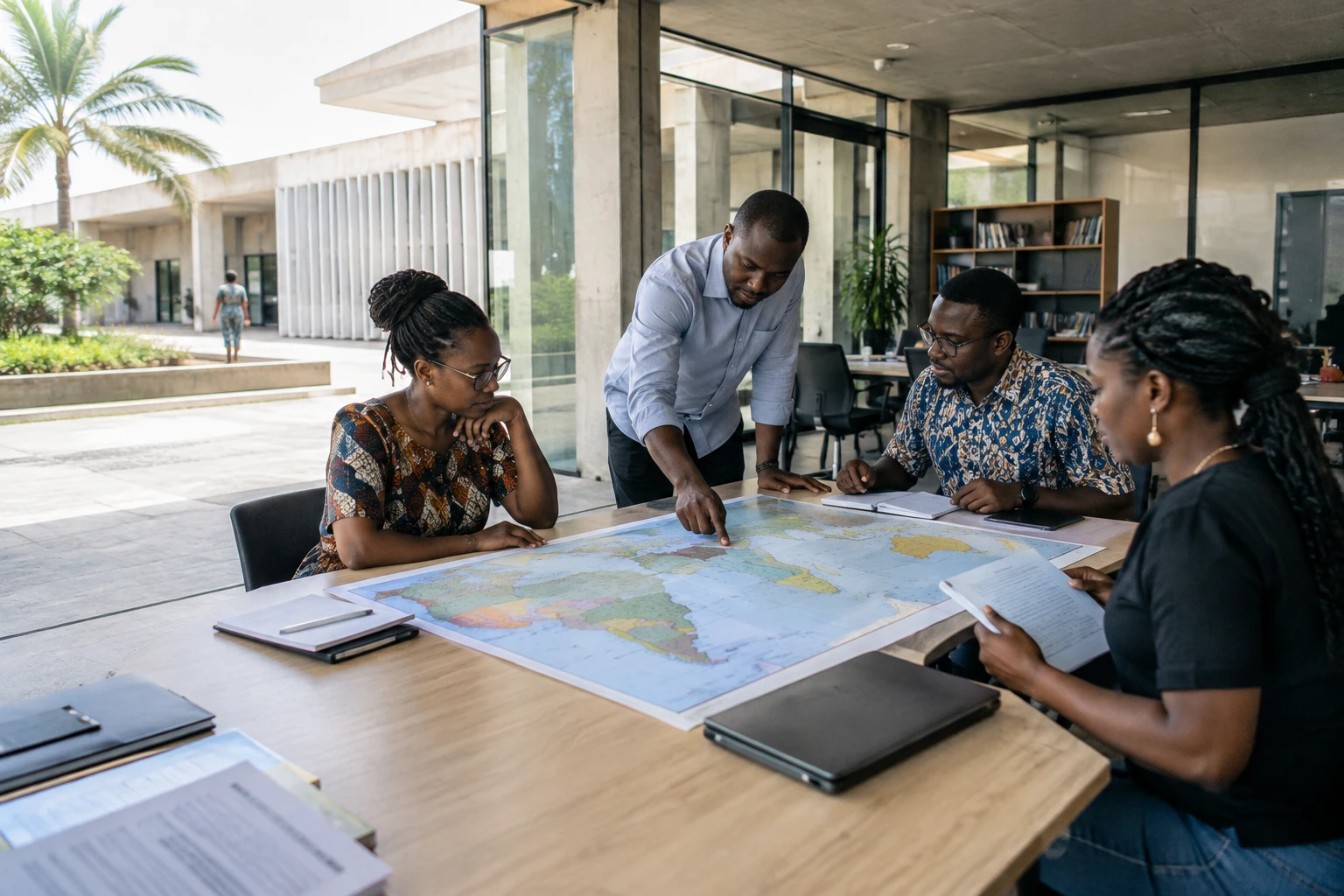
A map can be accurate in its figures and still be difficult to access if its names, legend and explanations do not speak to the people consulting it. From Lomé, Togo wants to extend the debate on how the world is represented by making an equal-area map available in several African languages.
From the UN resolution to everyday use
On 4 September 2026, the United Nations General Assembly adopted the “Correct the Map” resolution, presented by Togo on behalf of the African Group. The text received 164 votes in favour, one against and six abstentions. It encourages the use of map projections that more faithfully represent the relative areas of the continents, particularly in education and the media. It does not ban the Mercator projection or mandate a single map, the UN specified in its account of the vote.
The Equal Earth projection, at the heart of the translation project, is a way of representing a spherical Earth on a flat surface while preserving area proportions. Like any flat projection, it distorts certain aspects of the globe: it cannot simultaneously preserve shapes, angles and distances. The choice therefore depends on what a map is intended to show. Equal Earth is particularly suitable when comparing areas is important.
For Togo, the next step is practical: to translate the names of countries, cities, seas and other landmarks, as well as the legend and an educational guide. Each team will have to justify its choices in a glossary, particularly on terminology and spelling. The Ministry of Foreign Affairs has opened the call to translators, linguists, teachers, researchers, universities, associations and members of the diaspora with a command of the languages concerned.
The list includes Hausa, Yoruba, Wolof, Lingala, Zulu, Malagasy, Ewe, Kabye and Kotokoli. Other African languages may be proposed. A Kiswahili version is already under way, according to information released about the initiative. Applications are due by 30 December 2026 at the latest; the selected teams are to be announced on 15 January 2027, with translations due by the end of February.
Translation also means deciding what to call things
The announced scoring system allocates 65% of the mark to written proficiency in the language, 20% to translation experience and 15% to connection with the communities that use it. The ministry plans to offer a flat fee for each selected language, but has not specified the amount in the information available. The maps and their educational materials are then to be distributed free of charge under an open licence, including to schools, media, public authorities and digital platforms.
This approach recognises that translating a map is not simply a matter of replacing one word with another. Geographical names can have several forms, vary by region or be spelt in different ways. A shared glossary and validation by speakers are therefore essential to ensure the result is understandable and reusable. The weight given to community connection in the selection process reflects this; it does not, however, guarantee by itself that all variants will be represented.
The issue goes beyond the image of the continents. A map used at school or on a screen helps establish reference points: where countries are, how regions are positioned and which areas to compare. Materials accessible in the languages people actually speak can widen the audience able to consult and share them. But their adoption will also depend on their availability in suitable formats, whether teachers and media use them, and how easily the versions can be updated.
A project aligned with African language priorities
The project is part of a continental context in which linguistic diversity is both an everyday reality and an issue of access to knowledge. The African Academy of Languages, a specialised body of the African Union based in Bamako, has a mandate to promote African languages and multilingualism, particularly in education. The African Commission on Human and Peoples’ Rights has also called on states to strengthen the use of local languages in learning and communication around the African Continental Free Trade Area, which aims to facilitate trade between countries.
This ambition requires treating languages as tools for producing and sharing knowledge, rather than reducing them to symbols of identity. It also entails practical choices: who harmonises terms, who checks translations and how cross-border usage is taken into account. Hausa, Wolof, Lingala and Kiswahili extend beyond national borders; their dissemination could thus give the project regional reach, beyond Togo alone.
The UN resolution opens up space for discussion, but its implementation rests with states, schools, media and digital-sector players. Togo’s approach seeks to connect this international decision with materials that can be used locally. Its success will be measured less by the number of languages announced than by the quality of the versions produced, free access to them and their actual presence in learning and information tools.
The next steps are now dated: applications close on 30 December 2026, teams are to be announced on 15 January 2027 and delivery is expected by the end of February. They will show whether this initiative led from Lomé can turn a debate about maps into a lasting educational resource, developed with African language communities.
For further context, see the presentation of the resolution by the United Nations Office of the Special Adviser on Africa, the resolutions adopted by the General Assembly, the mission of the African Academy of Languages and the African resolution on local languages in learning and trade.