Algeria
 Egypt
 Libya
 Morocco
 Sudan
 Tunisia
 Benin
 Burkina Faso
 Cabo Verde
 Côte d'Ivoire
 Ghana
 Guinea
 Guinea-Bissau
 Liberia
 Mali
 Mauritania
 Niger
 Nigeria
 Sierra Leone
 The Gambia
 Togo
 Cameroon
 Central African Republic
 Chad
 DR Congo
 Equatorial Guinea
 Gabon
 Republic of the Congo
 São Tomé and Príncipe
 Burundi
 Comoros
 Djibouti
 Eritrea
 Ethiopia
 Kenya
 Madagascar
 Malawi
 Mauritius
 Mozambique
 Rwanda
 Seychelles
 Somalia
 South Sudan
 Tanzania
 Uganda
 Angola
 Botswana
 Eswatini
 Lesotho
 Namibia
 South Africa
 Zambia
 Zimbabwe
As forests come under strain, data becomes a tool on the ground
In Senegal, forest protection is no longer pursued solely through tree planting, firebreaks or reforestation campaigns. It also depends on the ability to see, measure and share more effectively what is already protecting soils and trees in villages, bolong areas and rural lands.
It is in this context that Dakar is seeking to bring digital technologies closer to indigenous knowledge: local practices that have long governed the use of natural resources. The aim is straightforward: to turn knowledge that is often oral, scattered and poorly documented into a lever for public action, without distorting it.
A Senegalese context marked by soil erosion and pressure on forest cover
The debate is taking place in a country where land degradation is no longer an abstraction. In a 2024 report, the Court of Accounts of Senegal estimates that 34% of land is degraded, or 6,860,900 hectares, as a result of the combined effects of deforestation, soil salinisation, erosion and bush fires. This figure gives a concrete measure of the challenge. It also serves as a reminder that the issue goes beyond forests alone: it affects agricultural productivity, rural incomes and food security.
Pressure is also intense across the continent. The FAO says Africa lost an average of 3.9 million hectares of forest a year between 2010 and 2020, largely because of the expansion of food crops and the harvesting of wood for fuel. In West Africa, demand for wood, agricultural expansion and vegetation fires continue to weaken ecosystems. Senegal is not immune to this regional trend, although it has increasingly structured institutional tools to address it.
Against this backdrop, National Tree Day retains political and educational significance. It serves as a reminder that a tree is not merely a symbol. It also protects against erosion, serves as a reservoir of biodiversity and, in several regions, cushions the effects of climate shocks.
Digital tools in the service of a living ecological memory
In Passy, in the department of Foundiougne, the government spokesperson has argued for an alliance between technology and local practices to better protect the environment. The idea merits consideration beyond the speech itself. It reflects a broader trend: using digital tools to map, anticipate and document phenomena that communities already observe in their daily lives.
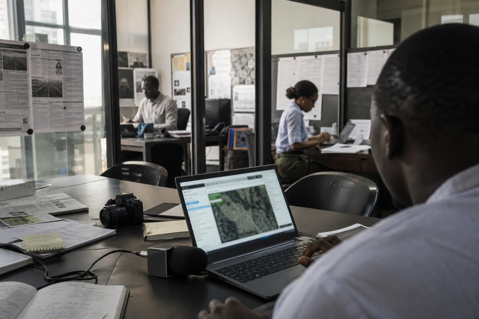
In Senegal, this approach can take several forms. Satellite images make it possible to track changes in vegetation cover. Geographic databases help locate degraded areas. Participatory platforms can collect alerts from communities about fires, the advance of salinity or woodcutting. The point is not to replace local knowledge, but to make it more visible in public decision-making.
This approach also forms part of the growing use of space technologies nationally. The Senegalese authorities have already celebrated the launch of GaïndéSat-1A, Senegal’s first satellite, and the public space programme has announced the next step with GaindéSat-1B, presented as an expected boost to data collection and Earth observation. At the same time, the Géo Sénégal portal highlights the use of geographic data to monitor terrestrial ecosystems and the effects of human activities. In other words, digital technology is no longer a distant prospect: it is becoming part of the tools of public action.
What this means for communities, the state and the rural economy
The main issue concerns rural communities first and foremost. They are the ones on the front line of declining soil fertility, dwindling firewood supplies and pressure on shared resources. When an alert or monitoring system works, it can limit losses, better target reforestation and support proven conservation practices. When it fails, the burden falls on households, often without a safety net.
For the state, the challenge is twofold. First, it must produce reliable data. Then it must connect that data with knowledge from the field. Without this, even the most precise maps remain theoretical. This is precisely where indigenous knowledge comes into its own. It points to rainfall cycles, areas of natural regeneration, useful species and changes in animal behaviour that sensors alone are not always sufficient to interpret.
The debate also raises a question of governance. Several international studies have warned of the risk that local knowledge could be appropriated by outside actors when it is digitised without safeguards. An academic study published in 2025 on the digitisation of African environmental knowledge stresses the need to involve communities in designing the tools, so that they retain a role in defining, accessing and using the data. This safeguard is crucial in Senegal, where the value of knowledge must not be seized by technology.
The economic benefits are clear. Better information about degraded areas helps target investment. It can also support land restoration, reduce monitoring costs and bolster sustainable forestry sectors. For municipalities, this can influence local planning. For farmers, it can change how they prepare for the seasons. For technical services, it makes it possible to prioritise at-risk areas rather than spread efforts too thinly.
An African perspective on an increasingly continental challenge
The Senegalese case extends beyond its borders. Across West Africa, the question is the same: how can land be protected when agricultural expansion, domestic energy needs and the effects of climate change reinforce one another? The answer cannot come from a single field. It must bring together science, satellite observation, land policies and community knowledge.
This is also why African and regional organisations have an important role to play. ECOWAS, the Great Green Wall and national environmental bodies are already pursuing restoration and resilience initiatives. By developing its own space and geographic capabilities, Senegal is seeking to rely less exclusively on data produced elsewhere to understand its landscapes. This is a matter of practical sovereignty, not prestige.
The continental significance is clear: in the coming years, the challenge will not simply be to plant more trees, but to know where, how and with whom to protect them. On this scale, the combination of indigenous knowledge and digital technologies could become an African approach to resource management, provided communities remain at the centre of the system. By testing it, Senegal is exploring a path that is already attracting interest far beyond its borders.