Algeria
 Egypt
 Libya
 Morocco
 Sudan
 Tunisia
 Benin
 Burkina Faso
 Cabo Verde
 Côte d'Ivoire
 Ghana
 Guinea
 Guinea-Bissau
 Liberia
 Mali
 Mauritania
 Niger
 Nigeria
 Senegal
 Sierra Leone
 The Gambia
 Togo
 Cameroon
 Central African Republic
 Chad
 DR Congo
 Equatorial Guinea
 Gabon
 Republic of the Congo
 São Tomé and Príncipe
 Burundi
 Comoros
 Djibouti
 Eritrea
 Ethiopia
 Kenya
 Malawi
 Mauritius
 Mozambique
 Rwanda
 Seychelles
 Somalia
 South Sudan
 Tanzania
 Uganda
 Angola
 Botswana
 Eswatini
 Lesotho
 Namibia
 South Africa
 Zambia
 Zimbabwe
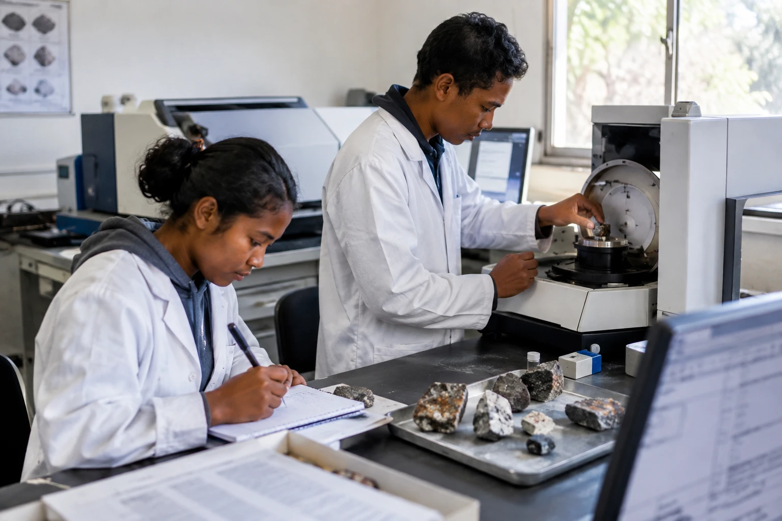
A geological map is more than colours on paper. It helps a state know where to explore, negotiate more effectively with mining companies and decide which skills to develop at home. In Madagascar, new Japanese support is set to strengthen this work, from rock analysis to specialist training.
Tools to produce data in Madagascar
On 3 November 2026, Madagascar and the Japan International Cooperation Agency (JICA) formalised a grant of 300 million yen to equip the laboratories of the University of Itasy. Malagasy media outlet 2424.mg reports that the agreement includes two mineral analysis instruments. The university’s website confirms its cooperation links with JICA and the existence of joint research with Japanese partners.
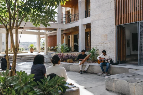
An X-ray fluorescence spectrometer measures the chemical composition of a sample. An X-ray diffractometer helps identify the minerals it contains. These instruments can be used for practical teaching and research. The University of Itasy inaugurated its mining engineering laboratory on 30 April 2025, according to information published by the institution.
The new equipment will not replace field campaigns or mapping of the territory. Rather, it will give local teams additional means to analyse samples and interpret observations. The distinction matters: a potential resource does not automatically become an exploitable deposit, still less public revenue. Reliable data, further studies and decisions on the terms of exploitation are needed.
Cooperation did not begin with this grant. A Japanese project completed in 2012 helped revise eight geological maps of southern Madagascar and train staff in satellite image analysis, according to information provided about the programme. In Itasy, researchers are also working on beryllium with Akita University. The Malagasy institution said the two universities had discussed joint projects in September 2025.
Knowledge of the subsoil, a public decision-making issue
In Madagascar, an island country in the Indian Ocean whose capital is Antananarivo, the new capabilities may first benefit students, teachers and researchers. In time, analyses carried out locally could also help government bodies scrutinise data submitted by companies more effectively. But this will depend on the availability of the equipment, its maintenance, user training and continuity of funding.
The benefits will therefore neither be immediate nor the same for everyone. Institutions and industrial players need geological data to target their exploration. For communities in the areas concerned, the issues are different: the discovery of mining potential can prompt debate over access to land, environmental impacts, jobs and the distribution of revenue. A better map does not resolve these questions. It can, however, make public choices better informed, provided its findings are accessible and local people are involved in decisions that affect them.
The same issue arises in different national contexts. In the Democratic Republic of the Congo, in Kinshasa, the Ministry of Mines announced on 15 October 2026 the launch of an airborne geophysical and geological mapping programme with Spanish company Xcalibur. The project includes a training component, according to the Congolese Ministry of Mines. The DRC’s Extractive Industries Transparency Initiative also describes the planned work, including the collection and interpretation of geophysical data.
The comparison has its limits. The DRC is embarking on a wide-ranging national mapping programme, while the Malagasy agreement notably strengthens university equipment and training. In both cases, the central question goes beyond data collection: who keeps the data, who can consult it, and what role do national specialists play in interpreting it? The Congolese ministry presents mapping as a tool for gaining a better understanding of resources. Its impact will also depend on publication rules, public oversight and the ability of local institutions to monitor the work.
Training beyond one-off projects
Skills development is also supported by training across countries. The PanAfGeo programme, carried out from 2016 to 2024 as part of cooperation between African and European geological institutions, trained nearly 1,750 geoscientists from 54 African countries, according to a review published by the French Geological Survey. Its successor, PanAfGeo+, covers the period 2025-2029 and includes training and exchanges between geological surveys.
These initiatives do not eliminate disparities in resources between countries or institutions. They nonetheless show that mapping, mineral analysis and data management can be part of African skills networks, rather than relying solely on external expertise. For Madagascar, the next steps are practical: install and maintain the instruments, train users and turn university research into data that can inform public decisions.
Across the continent, demand for minerals linked to industry and technology is making knowledge of the subsoil increasingly important. But knowing that a resource exists is not enough to ensure that its exploitation benefits the country over the long term. The quality of institutions, contract transparency, protection of territories and local processing remain separate political choices. In Itasy, the agreement’s success will therefore be measured less by the arrival of the equipment than by its regular use and the ability of Malagasy teams to produce, retain and draw on their own knowledge.