Algeria
 Egypt
 Libya
 Morocco
 Sudan
 Tunisia
 Benin
 Burkina Faso
 Cabo Verde
 Côte d'Ivoire
 Ghana
 Guinea
 Guinea-Bissau
 Liberia
 Mali
 Mauritania
 Niger
 Nigeria
 Senegal
 Sierra Leone
 The Gambia
 Togo
 Cameroon
 Central African Republic
 Chad
 DR Congo
 Equatorial Guinea
 Gabon
 Republic of the Congo
 São Tomé and Príncipe
 Burundi
 Comoros
 Djibouti
 Eritrea
 Ethiopia
 Madagascar
 Malawi
 Mauritius
 Mozambique
 Rwanda
 Seychelles
 Somalia
 South Sudan
 Tanzania
 Uganda
 Angola
 Botswana
 Eswatini
 Lesotho
 Namibia
 South Africa
 Zambia
 Zimbabwe
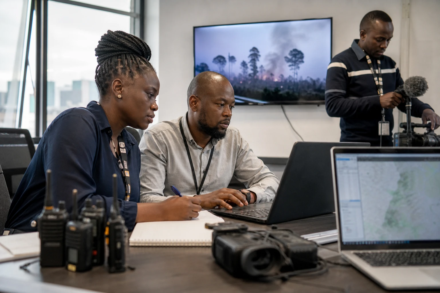
On Mount Kenya, a bushfire quickly becomes a water security issue
When flames spread across a mountain’s upper slopes, the danger is not limited to burned trees. In Kenya, Mount Kenya acts as a natural reservoir for water, biodiversity and human activities far beyond mountain villages. That is precisely what the fire reported on 1 September has brought into focus: it has already affected about 8,700 hectares of vegetation, according to conservation teams deployed on the ground.
The issue has taken on national significance because the massif feeds several river basins in the centre and east of the country. The consequences affect households, agriculture, wildlife corridors and conservation services alike. In a region where water underpins the local economy, a fire at altitude has knock-on effects.
A protected site at the heart of East Africa
Mount Kenya rises to 5,199 metres. It is Africa’s second-highest peak after Mount Kilimanjaro in Tanzania. Its national park and natural forest have been on UNESCO’s World Heritage List since 1997. The site is also a biosphere reserve, recognised for its retreating glaciers, mid-altitude forests and Afro-alpine ecosystems.
The UNESCO-listed property comprises the national park managed by the Kenya Wildlife Service and parts of the forest reserve administered by the Kenya Forest Service. This institutional framework matters because the fire affects an area where nature protection, public oversight and community response intersect. The massif is also linked to ecological corridors that facilitate wildlife movement, particularly by elephants, between different protected areas.
Mount Kenya is therefore part of a wider regional geography. Across East Africa, mountains often serve as water towers, ecological refuges and economic lifelines for neighbouring populations. Here, the issue extends beyond the affected county: it concerns the relationship between conservation, food security and climate adaptation in Kenya.
What we know about the fire
The first reports date back to 1 September. Since then, several teams have been deployed to contain the remaining hotspots. They include the Mount Kenya Trust, the Kenya Forest Service, the Kenya Wildlife Service, the Kenya Defence Forces, the Lewa Wildlife Conservancy and Rhino Ark, with support from local communities and aerial assistance. The authorities have not yet publicly established the cause of the fire.
Data published in recent days point to a widespread and shifting incident. On 8 September, the Kenya News Agency said at least 85% of the fire had been contained, while noting that it had already affected more than 3,000 hectares and was the largest of five incidents recorded since 12 August. Other Kenyan media, citing field teams, subsequently reported that about 8,700 hectares had burned by 6 September. The figures do not describe the same snapshot of the fire: above all, they reflect its rapid spread, followed by revised estimates as field assessments become more precise.
The terrain and wind have hampered operations. Local sources report that the flames moved towards the Rutundu, Lake Alice and Lake Ellis areas, with several fronts active at once. This explains why firefighting requires ground crews, aerial resources and community networks alike.
Tangible effects on wildlife, water and communities
The immediate concern is the fragile highland habitats. Mount Kenya is home to threatened species, including the critically endangered mountain bongo. A moorland fire — affecting high-altitude heathland that forms a transition zone between forest and summit — can therefore disrupt species already under pressure from land-use change and warming.
Water is just as central to the issue. Rivers rising on the massif supply communities, farms and natural habitats across several parts of central and eastern Kenya. The degradation of soils at altitude can worsen erosion, weaken water sources and make it harder for water reserves to replenish over the medium term. It is a quiet but decisive issue for downstream cities, rural areas and agricultural activity.
The fire also highlights the role of local actors in protecting major ecosystems. The Mount Kenya Trust says fires have become more frequent and severe as a result of the combined effects of climate change, prolonged droughts and human activity along the forest edge. The organisation says it has trained and equipped scouts from forest communities to respond on the front line. This shows that in Kenya, firefighting does not depend on the state alone: it also relies on partnerships between public services, private conservancies, associations and local residents.
A test of Kenya’s preparedness for wildfires
The fire comes in a country where high-risk seasons are well known. The Kenya Forest Service says forest fires are generally more frequent between July and September in the Mount Kenya region, and between January and March in other forested areas of the country. The authorities therefore have a prevention calendar, but the current incident shows that a fire can spread faster than response capacity when terrain, wind and dry vegetation combine.
The 2022 fire remains fresh in the minds of site managers. At the time, UNESCO had already reported fires in the park and supported the emergency response. This recurrence gives the 2026 incident wider significance: beyond extinguishing a fire, Kenya faces the question of how resilient its resource-rich mountains are.
Across the continent, the case of Mount Kenya resonates in several countries in East Africa and the Congo Basin, where protected areas, mountain forests and river basins are ecological and economic pillars. It is a reminder that a World Heritage site is more than a symbol. It is also natural infrastructure. When it burns, local, regional and climatic balances are shaken.