Algeria
 Egypt
 Libya
 Morocco
 Sudan
 Tunisia
 Burkina Faso
 Cabo Verde
 Côte d'Ivoire
 Ghana
 Guinea
 Guinea-Bissau
 Liberia
 Mali
 Mauritania
 Niger
 Nigeria
 Senegal
 Sierra Leone
 The Gambia
 Togo
 Cameroon
 Central African Republic
 Chad
 DR Congo
 Equatorial Guinea
 Gabon
 Republic of the Congo
 São Tomé and Príncipe
 Burundi
 Comoros
 Djibouti
 Eritrea
 Ethiopia
 Kenya
 Madagascar
 Malawi
 Mauritius
 Mozambique
 Rwanda
 Seychelles
 Somalia
 South Sudan
 Tanzania
 Uganda
 Angola
 Botswana
 Eswatini
 Lesotho
 Namibia
 South Africa
 Zambia
 Zimbabwe
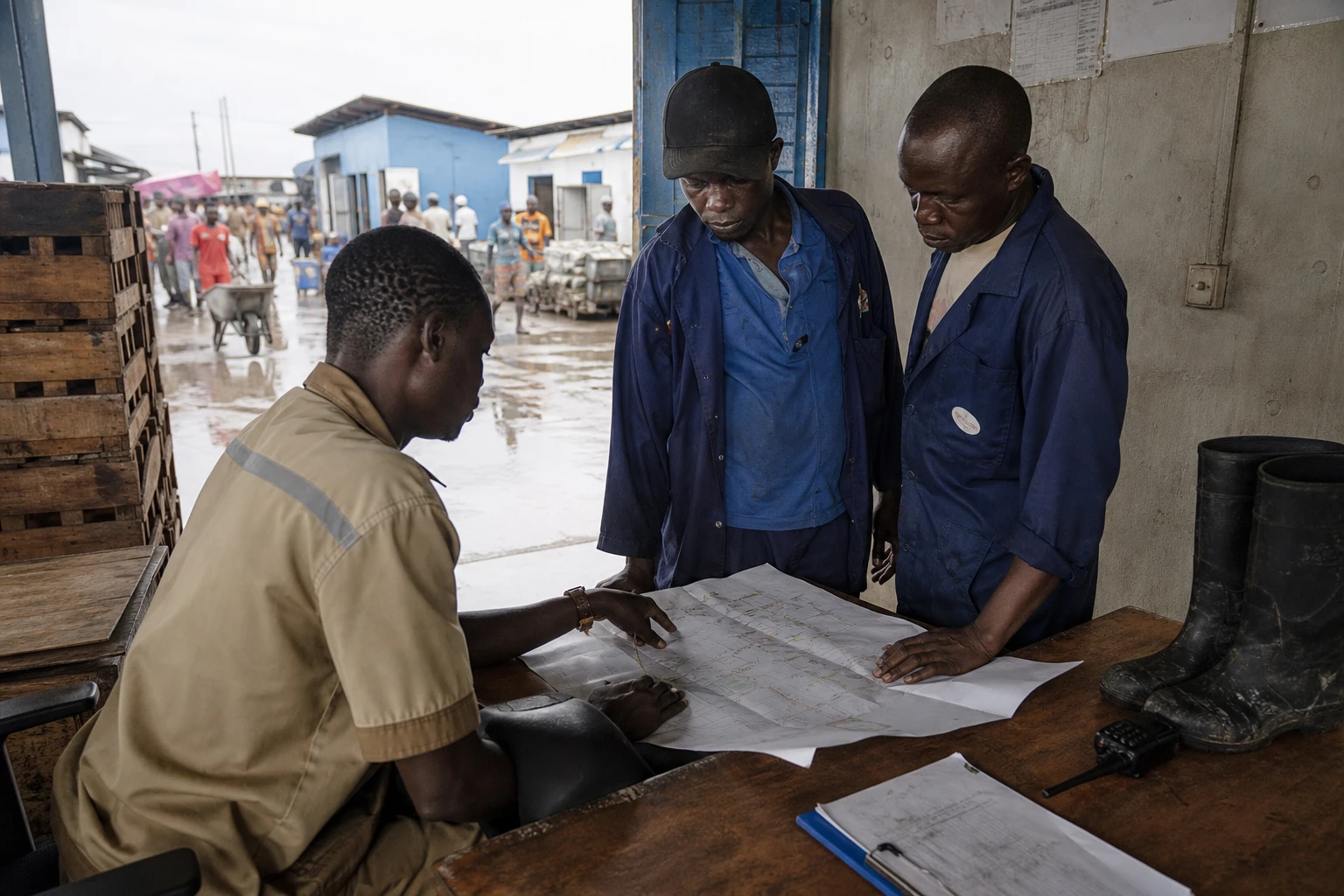
In Cotonou, rain tests more than just drains. It also measures how quickly cities respond.
In Benin’s economic capital, the first showers do more than flood streets. They expose the weak points in a territory where water flows between densely populated neighbourhoods, low-lying areas, roads and zones still under construction. As the main rainy season approaches, Benin is once again putting stormwater drainage at the centre of public debate, with a simple question: how can daily mobility, homes and businesses be protected without waiting for the next rise in water levels?
The issue extends beyond Cotonou. It also concerns Abomey-Calavi, Ouidah and, more broadly, Greater Nokoué, an urban area where runoff crosses administrative boundaries without seeking permission from town halls. In this zone, municipal authorities, the Littoral Prefecture, the Société des infrastructures routières et de l’aménagement du territoire (SIRAT) and the Benin Civil Protection Agency are working on the same problem: restoring order to a heavily used urban water system. This approach comes amid forecasts of a wet 2026 season in southern Benin, with a risk of episodes of heavy rain and localised flooding in several Gulf of Guinea countries.
Bottlenecks identified on the ground
On Tuesday 18 August 2026, a mission led by ABPC director-general Abdel Aziz Bio Djibril and Littoral Prefect Gilbert Déou Malé visited several sites in Cotonou and Abomey-Calavi to assess the condition of the main drainage channels. The delegation included prefecture services, technical teams from the municipalities concerned, SIRAT and the Directorate-General for Urban Development. The objective was clear: to identify areas hampering water drainage before the rains become established.
Several problems were identified on site. At Pahou, in the municipality of Ouidah, drainage has deteriorated around the bridge, with water stagnating more often than before. At Hêvié and Womey, in the municipality of Abomey-Calavi, technicians observed disruptions to the main canal and an increasingly irregular flow of water between Pahou and Womey. At Womey 2, stagnant water reached the lower parts of the low-lying area and affected homes. In this kind of situation, the problem does not stem from a single structure, but from a combination of blockages, earthworks, encroachment on wetlands and undersized drains.
The mission also identified the Djonou bridge in Houédonou as an additional area of concern. The site became emblematic after heavy rain on 29 and 30 June 2026 severely disrupted the link between Abomey-Calavi and Cotonou. Several Beninese media outlets reported slow-moving traffic, while the authorities referred to broader discussions about a future structure and its role in urban mobility. The site is a reminder of something residents know well: when an outlet becomes blocked, an entire chain of journeys is disrupted.
The long-term task: keeping the city moving when it rains
Emergency interventions are part of a wider programme. The Cotonou Stormwater Drainage Programme, or PAPC, has already delivered 46 km of primary drains, 90 km of secondary drains and roadside channels, as well as 49 km of roads and seven retention basins. The World Bank says the programme has improved daily life for more than 168,000 residents of the economic capital. These figures show that the issue is no longer merely one of crisis management; it has become a cornerstone of urban planning in Benin.
The government has also placed Cotonou within a broader framework of urban resilience. Public data on the project show that the aim is not simply to get rid of water after rain, but to reduce the vulnerability of exposed neighbourhoods, safeguard roads and limit the health impacts of flooding. This is a practical concern for families, traders, motorcycle-taxi drivers, pupils and women who cross low-lying areas every day to reach markets, schools or offices. In a city where the informal economy plays a central role, just a few hours of standing water can slow a whole day’s earnings.
SIRAT also puts forward a simple argument: drainage infrastructure can function over the long term only if waste does not block drains, collectors and outlets. This is a technical issue, but also a political one. Stormwater management depends on public investment, regular maintenance and respect for land boundaries. When buildings encroach on wetlands or drainage corridors, the rain will always reclaim its territory.
Why this tour matters beyond the Littoral
This comes amid a West African context in which extreme weather events are arriving earlier, faster or with greater intensity, depending on the area. AGRHYMET’s 2026 seasonal forecasts and those of regional meteorological services predict generally average to below-average rainfall totals in the southern Gulf of Guinea, but with a risk of pockets of above-average rainfall at the start of the season that could cause localised flooding. In other words, a season considered broadly manageable can still cause concentrated damage, especially in poorly drained cities.
For Benin, the issue is also institutional. Cotonou remains the country’s economic showcase, while Porto-Novo is the political capital. Between them, Greater Nokoué concentrates development priorities, land pressures and social expectations. If the infrastructure holds, the city can breathe. If it fails, the costs are felt in transport, health, schools and small businesses. That is why flood prevention cannot be treated as a series of occasional drain-clearance operations. It must remain an ongoing effort in urban planning, protection of natural drainage areas and co-ordination between the state, municipalities and residents.
Across the continent, Cotonou’s experience reflects a question now shared by many African capitals: how can they cope with more unpredictable rainfall without slowing urban growth? The debate is not only about infrastructure. It concerns how cities are built, how low-lying areas are protected and how public services are prepared for weather that has become a factor in governance. In Benin, the next step will therefore be less visible than a visit to the field, but more decisive: turning technical findings into lasting works, neighbourhood by neighbourhood, catchment by catchment.