Algeria
 Egypt
 Libya
 Morocco
 Sudan
 Tunisia
 Benin
 Burkina Faso
 Cabo Verde
 Côte d'Ivoire
 Ghana
 Guinea
 Guinea-Bissau
 Liberia
 Mali
 Mauritania
 Niger
 Nigeria
 Senegal
 Sierra Leone
 The Gambia
 Togo
 Cameroon
 Central African Republic
 Chad
 DR Congo
 Equatorial Guinea
 Gabon
 Republic of the Congo
 São Tomé and Príncipe
 Burundi
 Comoros
 Djibouti
 Eritrea
 Ethiopia
 Kenya
 Madagascar
 Malawi
 Mauritius
 Mozambique
 Rwanda
 Seychelles
 Somalia
 South Sudan
 Tanzania
 Uganda
 Angola
 Botswana
 Eswatini
 Lesotho
 South Africa
 Zambia
 Zimbabwe
When data becomes an agricultural input
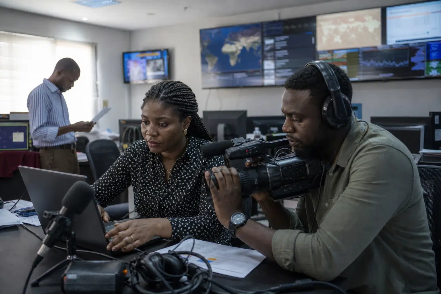
In several African capitals, the battle is no longer being fought only in the fields. It is also being fought in databases, satellite images and artificial intelligence models. For governments, the challenge is simple: to know more quickly what is growing, where and under what conditions. On a continent exposed to droughts, erratic rainfall and demographic pressure, this information is almost as valuable as a stock of fertiliser or an irrigation network.
This shift does not concern only countries with strong digital capabilities. It also affects states where agricultural statistics remain slow, costly or incomplete. This is where satellite imagery and AI are gaining ground. They promise more precise maps, faster forecasts and practical support for public decision-making. But they also raise a question of sovereignty: who collects the data, who interprets it, and who retains control of it?
National projects, from the Sahel to southern Africa
In Namibia, the government terminated in August 2026 a contract worth about $2.4 million with a US company to establish satellite and artificial intelligence-based crop monitoring. The decision was taken after an internal review found that the agreement did not comply with the legal and procedural rules applicable to contracts concluded on behalf of the state. The project was intended to help map cultivated areas, monitor crop conditions, forecast harvests and better assess drought risks. NAMPA and The Namibian confirmed the termination of the contract and the amount committed.
The Namibian case illustrates a point that is often overlooked: public-sector innovation depends not only on technology, but also on sound procedures. Without a clear contractual basis, a promising tool can become an administrative risk. For Windhoek, however, the challenge remains the same: to produce reliable agricultural information in a country where water and climate variability weigh heavily on farming seasons and food imports.
In Nigeria, the approach is different, but the objective is similar. In July 2026, federal authorities unveiled the National AgroProductivity System, developed with private partners to monitor crops using satellite images and AI tools. The system is intended to provide information on planted areas, crop distribution, expected yields and risks to food security. During the same period, the Federal Ministry of Agriculture and Food Security highlighted a broader strategy based on district-level data, soil reform and budget alignment across the national agrifood system. These priorities are set out on the official pages of the Nigerian Ministry of Agriculture.
In Kenya, the CroME initiative was launched on 10 and 11 February 2026 in Nairobi, with support from the Kenya Space Agency and the Ministry of Agriculture. The programme is intended to produce crop maps, identify plot boundaries, track changes in fields and improve yield forecasts. The Kenyan agency says the tool is also intended to support early-warning systems in the event of climate-related damage. Details are available on the Kenya Space Agency website.
In Rwanda, the Geospatial Hub, or GeoHub, was rolled out by the Rwanda Space Agency to aggregate satellite and administrative data for use in agriculture. The Rwandan agency says its smart agriculture solution is intended for crop classification, yield forecasting, plot demarcation and the detection of certain plant diseases using machine learning. The national strategy also makes local data processing a pillar of technological development. Reference information is available on the Rwanda Space Agency website.
What these tools change in practice
Their first advantage is the time they save. Conventional agricultural surveys remain essential, but they take time. Satellites enable more frequent updates. AI, meanwhile, sorts volumes of data that would be impossible to process quickly by hand. Together, these tools give administrations a more detailed view of cultivated land, including in remote or hard-to-reach areas.
This shift can improve several areas of public policy. First, imports: a state that spots a decline in yields earlier can adjust its purchases. Then there are agricultural inputs: seeds, fertiliser and technical support can be better targeted. Finally, climate response: signs of water stress, vegetation loss or damage from extreme rainfall become visible sooner. In practice, this mainly helps ministries, statistical services, insurers and agricultural support providers.
The benefits are not the same for everyone. Large farms, which are often better connected, take up new digital services more quickly. Small-scale producers, who are far more numerous, benefit only if the state turns data into straightforward services: advice, insurance, access to inputs and information about seasons. Otherwise, there is a risk of building sophisticated platforms that remain detached from conditions on the ground. In rural areas, therefore, the challenge is less the technology itself than its integration into decision-making, extension and financing systems.
Agricultural sovereignty also depends on servers
Across the continent, this growing use of technology forms part of a broader trend. In 2025, the African Union adopted the new strategy for the Comprehensive Africa Agriculture Development Programme, known as CAADP, for the 2026-2035 period. The aim is to make agrifood systems more resilient, productive and better co-ordinated. In this context, data is becoming strategic infrastructure, on a par with rural roads, warehouses and weather stations. This approach is also reflected in the documents and communications of the Nigerian agrifood investment plan.
The central question now is no longer whether Africa will use these technologies. It is how it negotiates, adapts and retains them. A platform funded from abroad can accelerate a project. But national capacity to process, archive and analyse data creates lasting value. That is where the difference between temporary dependence and genuine autonomy lies.
The trend is clear: from the Sahel to East Africa and then down to southern Africa, several states are seeking to bring agriculture into the age of geospatial data. Progress remains uneven, sometimes fragile and at times still experimental. But it reveals a broader trend: in African agricultural policy, the battle for higher yields is also being fought through the precision of maps, the quality of models and control of data.