Algeria
 Egypt
 Libya
 Morocco
 Sudan
 Tunisia
 Benin
 Burkina Faso
 Cabo Verde
 Côte d'Ivoire
 Ghana
 Guinea
 Guinea-Bissau
 Liberia
 Mauritania
 Niger
 Nigeria
 Senegal
 Sierra Leone
 The Gambia
 Togo
 Cameroon
 Central African Republic
 Chad
 DR Congo
 Equatorial Guinea
 Gabon
 Republic of the Congo
 São Tomé and Príncipe
 Burundi
 Comoros
 Djibouti
 Eritrea
 Ethiopia
 Kenya
 Madagascar
 Malawi
 Mauritius
 Mozambique
 Rwanda
 Seychelles
 Somalia
 South Sudan
 Tanzania
 Uganda
 Angola
 Botswana
 Eswatini
 Lesotho
 Namibia
 South Africa
 Zambia
 Zimbabwe
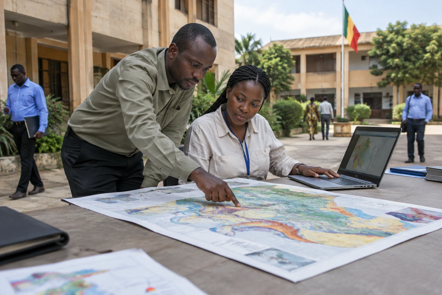
For a country whose exports depend heavily on gold, gaining a better understanding of the subsoil is also a matter of governance. Mali wants to bring its geological data and mining titles together in digital tools. The stated aim is to identify resources more effectively and monitor extractive activities.
Mining cooperation amid diversification efforts
Mali is seeking to strengthen public control over its resources at a time when mining plays a major role in its economy. This ambition forms part of closer relations with Russia, as well as a national debate about the benefits of mining and the role of Malian expertise.
At regional level, the country is a member of the Alliance of Sahel States alongside Burkina Faso and Niger, and remains a member of the Economic Community of West African States (ECOWAS), a West African integration organisation. In this context, the choice of partners and the management of resources have implications beyond Mali’s borders.
The sector also faces the challenge of diversification. Gold accounts for a significant share of export revenues, while industrial mining activities do not reflect the whole economy or the livelihoods of the population. Artisanal mining, indirect employment, tax revenues and the effects on local areas must also be taken into account.
Two tools announced to map and manage the subsoil
On 28 October 2026, in Moscow, Mali’s mines minister, Amadou Keïta, and Zarubezhgeologiya signed two agreements on the sidelines of the Russia-Africa summit. The company carries out international projects for the Russian state-owned group Rosgeologia. The announcement was reported by Malian media and the Russian company.
The first agreement provides for a digital geological map covering two areas that together would account for more than half of Mali’s territory. A geological map describes, among other things, rocks and underground structures. It can help identify areas where exploration work may be appropriate, but is not, by itself, proof that a deposit can be exploited.
The second project concerns an information system for managing the subsoil. It is intended to bring together geological data, information on mining titles and details for monitoring activities. Training for Malian specialists is also planned. However, publicly available details do not specify the implementation timetable, the cost of the projects or arrangements for data ownership and oversight.
These details matter. Digitisation can make procedures more transparent and facilitate the monitoring of permits. But its effectiveness will depend on data quality, how often it is updated, whether Malian services can access the tools and their ability to maintain the system once it is in place.
The digital cadastre already exists: coordination is key
The new agreements come as Mali has already begun digitising its mining cadastre, the register of mining titles and exploitation permits. On 17 April 2026, the mines ministry unveiled a new system that it said was fully operational and then recorded 631 titles.
It will therefore be necessary to clarify how the future geological information system will work with this cadastre. The two tools do not have exactly the same purpose: one aims to organise knowledge about the subsoil, while the other manages mining rights. Linking them could make checks easier, but the information available does not yet confirm the planned level of integration.
The sector’s economic weight explains the attention paid to these systems. According to the 2024 report by the Extractive Industries Transparency Initiative in Mali, cited by the Malian News and Publicity Agency, extractive industries accounted for about 10% of GDP and 79% of exports. The report also says that the public treasury received CFA francs 978 billion in extractive revenues in 2024. These figures describe different realities: the contribution to GDP, the share of exports and public revenues are not interchangeable.
A better understanding of the subsoil can inform exploration decisions and make titles easier to track. It does not, however, guarantee new discoveries, an automatic increase in revenues or an equitable distribution of benefits. For companies, reliable data can reduce uncertainty. For the state, it can support the oversight of permits. For local authorities and affected communities, the issue is also knowing which activities are authorised and what obligations apply to operators.
Benefits will depend on rules and local expertise
The planned training will be crucial if it enables Malian specialists to use, update and oversee the tools. Without sufficient local expertise, a digital infrastructure risks remaining dependent on its provider. Transparency over contracts, accessible data and each institution’s responsibilities will therefore matter as much as the technology itself.
The effects will not be the same for everyone. In Bamako, government departments and economic stakeholders may benefit from more centralised access to information. In regions where mining activities take place, the issues are more likely to concern permits, jobs, relations with operators and compliance with social and environmental obligations. The information system alone will not address these challenges.
The announcement extends cooperation discussed by Russian and Malian authorities in 2025 on mapping mineral potential. It also marks a further step in Russia’s economic presence in Mali. For now, the agreements concern tools for information and management, not an announced mine opening or a confirmed discovery of a deposit.
Progress will be judged by concrete details: the exact boundaries of the areas to be mapped, the work schedule, funding, the training actually delivered and links with Mali’s cadastre. Across West Africa, this initiative highlights a question shared by resource-rich states: how to turn geological data into better-controlled public decisions without confusing mining potential with guaranteed benefits for the population.