Algeria
 Egypt
 Libya
 Morocco
 Sudan
 Tunisia
 Benin
 Burkina Faso
 Cabo Verde
 Ghana
 Guinea
 Guinea-Bissau
 Liberia
 Mali
 Mauritania
 Niger
 Nigeria
 Senegal
 Sierra Leone
 The Gambia
 Togo
 Cameroon
 Central African Republic
 Chad
 DR Congo
 Equatorial Guinea
 Gabon
 Republic of the Congo
 São Tomé and Príncipe
 Burundi
 Comoros
 Djibouti
 Eritrea
 Ethiopia
 Kenya
 Madagascar
 Malawi
 Mauritius
 Mozambique
 Rwanda
 Seychelles
 Somalia
 South Sudan
 Tanzania
 Uganda
 Angola
 Botswana
 Eswatini
 Lesotho
 Namibia
 South Africa
 Zambia
 Zimbabwe
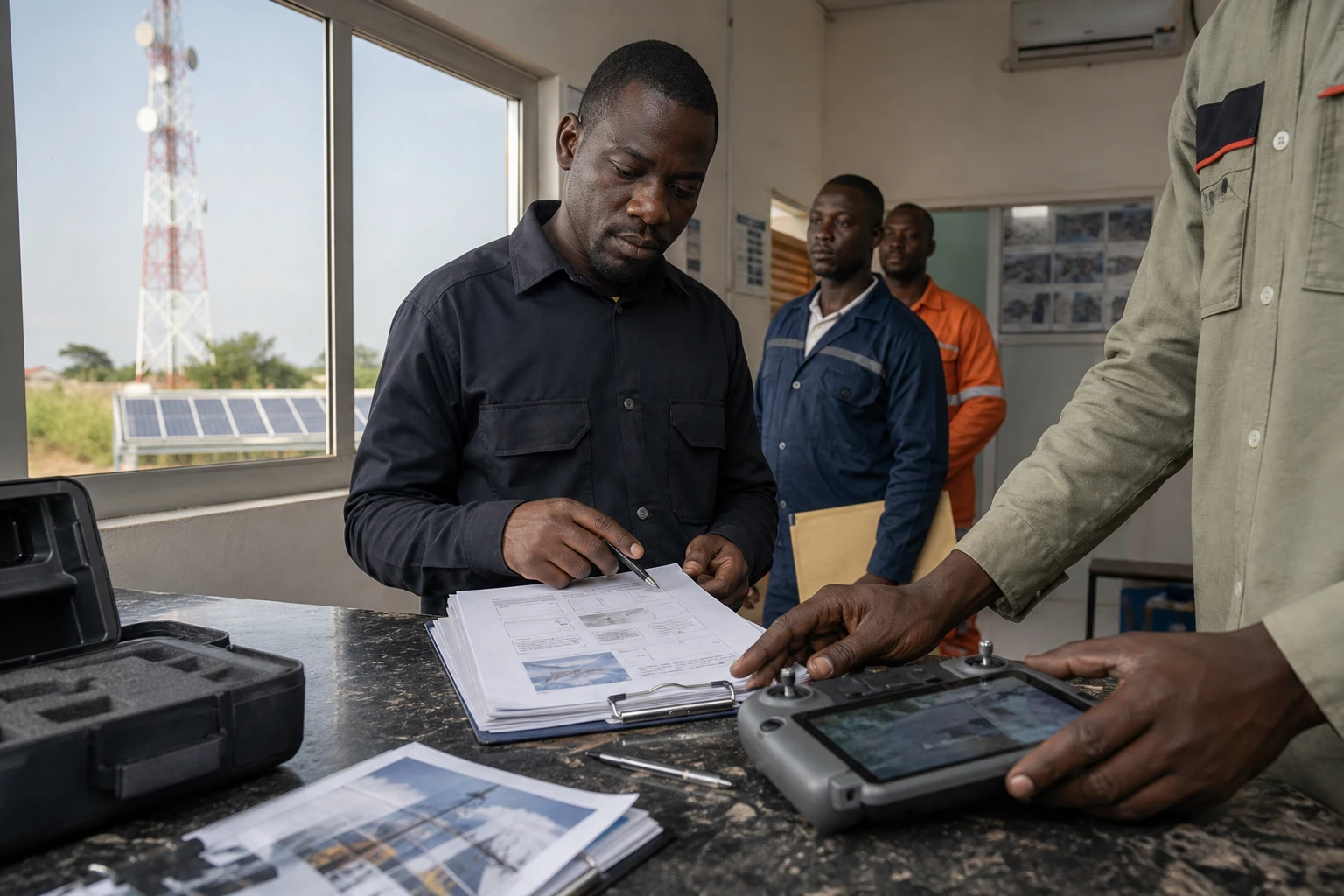
In Yamoussoukro, as in other major Ivorian cities, the quality of a mobile network also depends on infrastructure that users rarely see. Masts, technical buildings and solar arrays need regular checks. Orange Côte d’Ivoire is now using drones to inspect this infrastructure without routinely exposing its teams to working at height.
A tool developed to meet the needs of Côte d’Ivoire’s network
The drone-assisted inspection project was launched in 2022. It is based on a simple principle: photograph sites remotely, store the data in a dedicated application, then use the information to prepare maintenance work.
In a presentation published by Orange Côte d’Ivoire in March 2024, the operator explained that the solution was intended to cover masts, buildings and some energy equipment. It was also designed to process images and produce periodic or on-demand reports. The official presentation of the drone inspection project thus confirms that the initiative goes beyond simply taking aerial photographs.
According to information provided by the company, 83 inspections were carried out in 2025 in several areas, including Abengourou, Bouaké, Daloa, San Pedro and Yamoussoukro. Orange Côte d’Ivoire also says it has 12 drones. These figures are part of the operational review presented by the operator.
The system addresses a very practical constraint. Before carrying out work, technicians need to know the actual condition of a site. A detailed image can reveal damage, equipment that has shifted, or an area requiring closer inspection. Teams can then prepare the appropriate equipment and access methods.
Reducing risks and better preparing maintenance work
The main benefit is safety. Visual inspections of the upper sections of a mast sometimes require technicians, lifting equipment or cherry pickers. A drone makes it possible to carry out an initial inspection from the ground. It does not eliminate all work by people, but it can limit unnecessary climbs.
This development also affects service continuity. For a telecoms operator, an undetected fault can affect a site’s availability. Regular monitoring does not guarantee that breakdowns will not occur. However, it provides more information for organising preventive maintenance and reducing emergency call-outs.
The project uses a web and mobile application. It is designed to allow missions to be scheduled, sites designated, approvals tracked, and each operation linked to a drone or remote pilot. Mapping also makes it easier to track infrastructure geographically.
This system turns images into a technical history. Observations can be stored, compared and reused during subsequent work. The aim, then, is not simply to view a mast at a particular moment. It is to track its condition over time and document the decisions made by teams.
Local expertise to make use of the data
The technology cannot function without skilled people. In September 2026, 42 Orange Côte d’Ivoire technicians and engineers received remote-pilot certification after training described as practical and intensive. A communication published by a company executive reported 1,000 hours of field training.
The programme also covers photogrammetry. This method makes it possible to reconstruct a three-dimensional structure from multiple photographs. Five remote pilots and an information systems specialist are said to have been trained in the technique, according to information released around the ceremony held in Yamoussoukro.
Three-dimensional modelling can help assess the placement of equipment and simulate certain network changes. It can also help identify obstacles or better understand coverage problems. These applications depend on image quality, measurement accuracy and teams’ ability to interpret the results.
Orange Côte d’Ivoire is also developing artificial intelligence-based data analysis. The first announced component focuses on temperature. Three other work packages are planned in the roadmap for the second half of 2026. The stated aim is to detect certain faults more quickly using images and readings collected.
This approach is gradually bringing inspection closer to predictive maintenance. The term describes a system that seeks to intervene before a breakdown, drawing on technical signals. It nevertheless requires reliable data, human checks and clearly defined alert thresholds. A suspicious image alone does not constitute a complete diagnosis.
A market extending beyond telecommunications
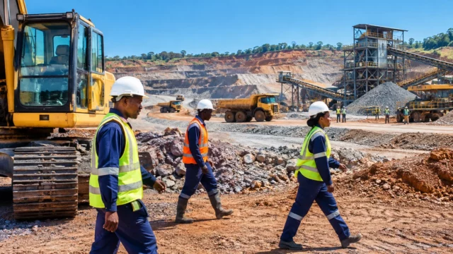
The expertise acquired at telecoms sites could be applied in other sectors of Côte d’Ivoire’s economy. The operator cites monitoring mining sites, surveying agricultural plots, collecting soil data, and inspecting dams and solar power plants.
These applications address needs found in several regions of Côte d’Ivoire. In agro-industry, aerial imaging can make it easier to monitor large areas. In energy, it can help inspect installations that are difficult to access. In mining, it can contribute to documenting sites and how they change.
Côte d’Ivoire is also seeing a local drone ecosystem take shape. Ivorian companies already offer mapping, surveying, photogrammetry and inspection services, particularly for industry, agriculture and construction. This momentum could create opportunities for remote pilots, data analysts and aviation regulation specialists.
A development to watch across West Africa
Orange Côte d’Ivoire’s approach is part of a broader transformation of digital infrastructure in West Africa. The region is seeing network expansion and increased mobile use, while also needing to maintain equipment spread across vast areas. In this context, remote data collection can shorten some lead times and help teams prepare more effectively.
Regulation remains essential. Flights must comply with the rules of the National Civil Aviation Authority, protect people on the ground and safeguard the data collected. Cybersecurity is also an issue when images and technical information are centralised on a digital platform.
For the second half of 2026, Orange Côte d’Ivoire has announced that inspections and training will continue, alongside the development of new use cases. The project’s success will be measured less by the number of drones than by their practical value: detecting faults, avoiding some risks, reducing delays and keeping the network available to Ivorians, in Abidjan and across the regions.