Algeria
 Egypt
 Libya
 Morocco
 Sudan
 Tunisia
 Benin
 Burkina Faso
 Cabo Verde
 Côte d'Ivoire
 Ghana
 Guinea
 Guinea-Bissau
 Liberia
 Mali
 Mauritania
 Niger
 Nigeria
 Senegal
 Sierra Leone
 The Gambia
 Cameroon
 Central African Republic
 Chad
 DR Congo
 Equatorial Guinea
 Gabon
 Republic of the Congo
 São Tomé and Príncipe
 Burundi
 Comoros
 Djibouti
 Eritrea
 Ethiopia
 Kenya
 Madagascar
 Malawi
 Mauritius
 Mozambique
 Rwanda
 Seychelles
 Somalia
 South Sudan
 Tanzania
 Uganda
 Angola
 Botswana
 Eswatini
 Lesotho
 Namibia
 South Africa
 Zambia
 Zimbabwe
A map — and a balance of power
On school desks, in meeting rooms and on phone screens, a world map is never neutral. It shows what we see, but also what we think we know. It was on this symbolic terrain that Togo chose to make its mark, bringing a resolution to New York that encourages states and institutions to use map projections that more accurately reflect actual land area, including Equal Earth.
For Lomé, the issue goes beyond school geography. It touches on Africa’s place in the collective imagination, in publishing, in digital tools and in the way relations between continents are presented. The African Union had already backed the initiative at continental level in February 2026, before it reached the United Nations General Assembly.
The vote comes as Togo has spent several years seeking to strengthen its diplomatic role in West Africa and beyond, combining multilateral advocacy, pan-African visibility and an active presence in international forums. In this context, Lomé also hosted the 9th Pan-African Congress in December 2025, a gathering that helped shape this diplomatic push.
What the General Assembly adopted
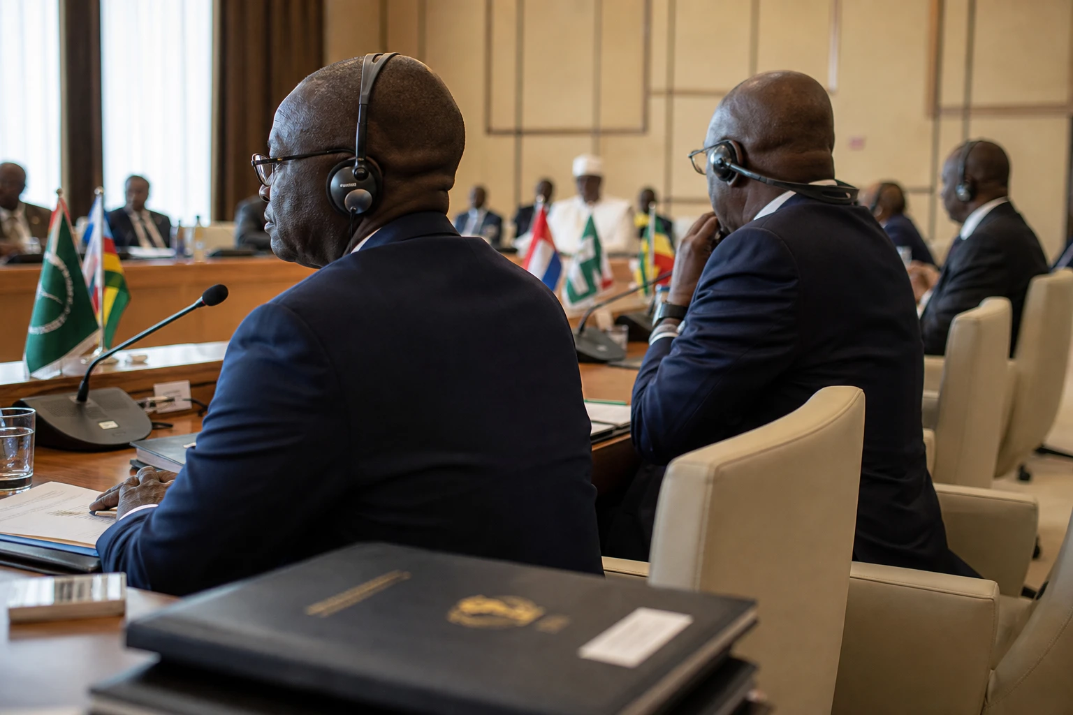
On Friday 4 September 2026, the United Nations General Assembly adopted the resolution put forward by Togo on behalf of the African Group. The text was approved by 164 votes to one, with six abstentions. The United States voted against.
The resolution does not impose a ban on Mercator. Instead, it invites governments, schools, media organisations, businesses and international organisations to favour maps that better respect the proportions of continents. The UN notes that the Mercator projection, designed in the 16th century for navigation, distorts land areas, especially near the poles.
The choice of Equal Earth is no accident. Created in 2018, this projection is known as an equal-area projection: it preserves the relative sizes of land masses. In other words, it does not correct everything, but it restores an essential fact for interpreting the world.
Togo’s foreign minister, Robert Dussey, presented the vote as a correction to perceptions as much as a technical adjustment. The idea is simple: if the image of the world is distorted, our mental representations of it eventually become distorted too.
Why Togo made it a diplomatic issue
Togo did not simply support an existing campaign. It made the cause its own on behalf of Africa, with the explicit backing of the African Union. In its statement of 4 September 2026, the AU Commission praised Togo’s leadership and the unity of member states behind the text.
This episode is part of a broader strategy: to make an African perspective heard in debates on reforming the multilateral system. Togo has already advanced positions in other forums related to sovereignty over narratives, historical justice and reform of international institutions. The campaign for a world map extends this political line.
The impact differs in practice for different groups. For African states, it is another signal in the struggle for visibility and a voice. For pupils, it is a question of how global space is represented. For media organisations and digital platforms, it is a reminder of the graphic choices they impose every day without discussing them. For international institutions, finally, it is a test of consistency between their rhetoric on equity and their communication tools.
The point of friction with Washington is political too. The United States called the text unnecessary and ideological, while the African camp sees it as a long-overdue correction to the way Africa is visually diminished. The divide sums up the stakes: this debate is not just about competing projections, but about two interpretations of what a map says about the world.
A continental impact beyond the map debate
Across Africa, the adoption matters because it gives a campaign already backed by the African Union the imprimatur of the UN. The precedent set in February 2026, followed by the vote in New York, shows that the issue is no longer confined to activist or academic circles. It has entered the continental diplomatic agenda.
Precision is important, however. The text adopted by the General Assembly is not binding and does not, by itself, replace the maps used in schools or atlases. But it establishes a political norm. And in international affairs, a norm can shape practice much faster than a regulation.
For West Africa, the significance is also symbolic. In a region marked by political transitions, security tensions and debates over state sovereignty, Lomé has chosen a less contentious but strategic arena: representation. Togo, a member of ECOWAS, gains visibility not through force or the threat of it, but through diplomatic initiative and its ability to rally support.
The next stage will play out in institutions, universities, publishing houses, newsrooms and digital platforms. That is where the political gesture will have to become practical usage. The UN vote does not settle the matter. Rather, it opens a new phase: one in which Africa demands to be represented at its true scale, not only in speeches but in the tools that shape the world’s view.