Algeria
 Egypt
 Libya
 Morocco
 Sudan
 Tunisia
 Benin
 Burkina Faso
 Cabo Verde
 Côte d'Ivoire
 Ghana
 Guinea
 Guinea-Bissau
 Liberia
 Mali
 Mauritania
 Niger
 Senegal
 Sierra Leone
 The Gambia
 Togo
 Cameroon
 Central African Republic
 Chad
 DR Congo
 Equatorial Guinea
 Gabon
 Republic of the Congo
 São Tomé and Príncipe
 Burundi
 Comoros
 Djibouti
 Eritrea
 Ethiopia
 Kenya
 Madagascar
 Malawi
 Mauritius
 Mozambique
 Rwanda
 Seychelles
 Somalia
 South Sudan
 Tanzania
 Uganda
 Angola
 Botswana
 Eswatini
 Lesotho
 Namibia
 South Africa
 Zambia
 Zimbabwe
In Ayetoro, the sea is swallowing more than the shoreline
In south-western Nigeria, a fishing community lives with a brutal equation: every rainy season can shift the boundary between land and the Atlantic a little further inland. In Ayetoro, in Ondo State, residents no longer speak of a distant risk. They describe a coastline in continual retreat, lost homes, washed-away streets and public services that must move as the sea advances. Recent academic research on the area confirms significant erosion, with an average retreat of about 15.6 metres a year between 1987 and 2022, while other studies of the same coastal corridor show even higher erosion rates in some places.
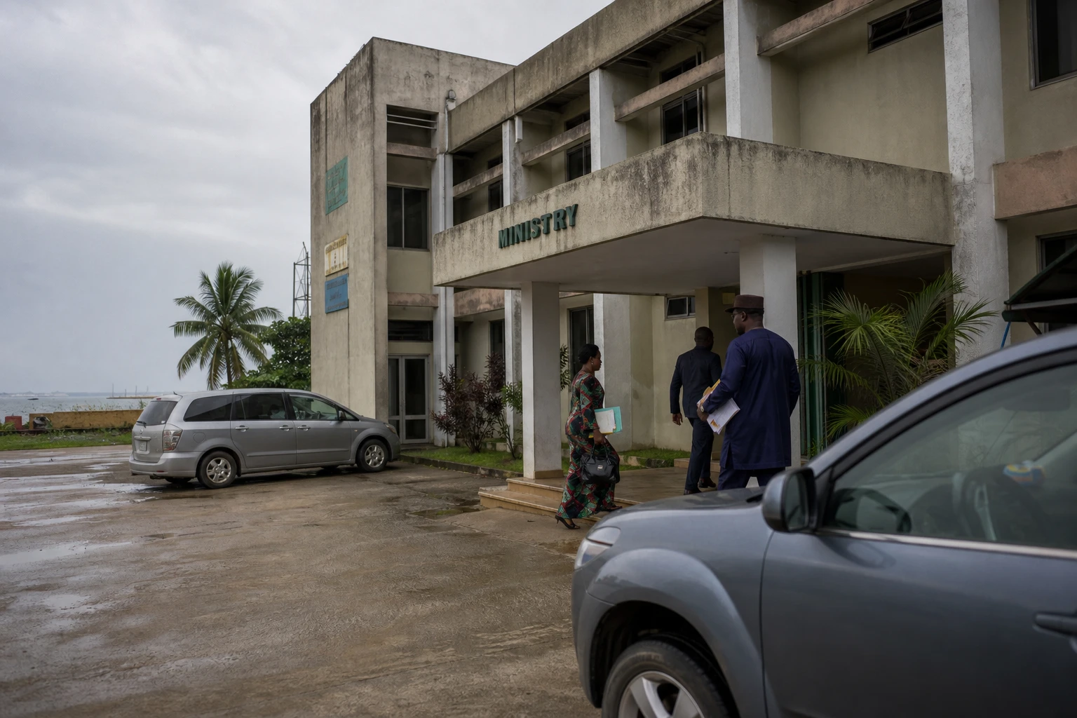
Ayetoro is not an isolated village in geographical terms. It is a meeting point for a fishing economy, a long-standing coastal settlement and a vulnerable stretch of coastline on Nigeria’s wider Atlantic seaboard. The country has about 853 kilometres of coast, mostly low-lying and exposed, between Benin and Cameroon. In this context, the federal authorities have established a climate coordination framework, including the National Council on Climate Change, created under the Climate Change Act of 2021, as well as a ministerial department dedicated to erosion, flooding and coastal areas. Ayetoro’s problem is therefore not merely a local accident. It is part of a national policy response that remains uneven in the face of the vast maritime front that needs protecting.
A community founded in 1947, then remade by the sea
Founded in 1947, Ayetoro first developed as a coastal community organised around fishing, river transport and maritime trades. Scientific research describes it as a place of work and movement, where the shoreline was not merely a backdrop but the very basis of the local economy. Today, that pattern is fading. Satellite images, field observations and accounts gathered by the Nigerian press all point to the same conclusion: entire stretches of the waterfront have disappeared, and several families have already had to resettle further inland, sometimes more than once.
The crisis is also affecting shared facilities. Studies and news reports describe the loss of the only local health centre, the relocation of schools and the loss of infrastructure rendered unusable by incursions from the sea. Another important factor in understanding the scale of the shock is that Ayetoro is at the heart of Ilaje district, where other communities face the same pressure. Researchers working on the Mahin coast in this part of Ondo State show that the phenomenon is not confined to a single spot; it affects an entire stretch of coastline, with areas of erosion, areas where sediment accumulates and forced human displacement.
What residents are losing, and what the state is putting to the test
For residents, the loss is not abstract. It means destroyed homes, shrinking farmland, altered access routes and a more costly fishing operation. In a locality where the sea shapes daily work, erosion destroys housing, livelihoods and social ties all at once. Those most exposed are often the people with the least financial leeway to rebuild, move their belongings or start again elsewhere. When schools and the health post also have to move, a domino effect follows: daily life becomes more expensive, slower and more uncertain.
The case also tests the capacity of the public response. In June 2026, the Ondo State Oil Producing Areas Development Commission estimated that 94 billion naira would be needed to save the community, a sum described as beyond its means. At the same time, regional authorities again called for federal and international support. The estimate points to a simple fact: lasting coastal protection goes beyond one-off interventions. It requires major infrastructure and planning, as well as nature-based solutions such as mangrove restoration, often cited by specialists as a way to slow erosion and absorb wave energy.
Ayetoro’s case also highlights a common contradiction in African coastal states: coastlines concentrate resources, trade routes, fishing activities and sometimes industrial projects, yet they are often protected too late. In Nigeria, this tension is compounded by rising sea levels, human pressure on the coast and the vulnerability of some coastal works. Studies of the Lagos coastline, like those of the Ilaje seaboard, show how the same factors combine: shoreline retreat, a lack of integrated management, urbanisation and disruption of sediment flows. In other words, Ayetoro is not an isolated case. It is a warning about how the country inhabits its coast.
A warning for the Gulf of Guinea and Africa’s adaptation debate
At a regional level, Ayetoro speaks to the entire Gulf of Guinea. From Liberia to Cameroon, coastal states face the same question: how can they protect low-lying areas where economies, homes and infrastructure depend on an unstable shoreline? The case therefore connects with the priorities set out in African frameworks on climate, adaptation and coastal protection. It also underlines that in West Africa, resilience cannot be reduced to announcements. It is measured by the pace of construction, the quality of research, the funding available and the ability to involve communities in technical decisions.
For Nigeria, the stakes go beyond the survival of a historic village. They concern the credibility of climate policy, the protection of coastal livelihoods and the place accorded to riverside areas in national development. For ECOWAS, whose member states include several exposed to the same kind of shoreline retreat, the issue is linked to food security, internal migration and the stability of local economies. Ayetoro also illustrates a continental reality: climate adaptation is no longer a technical chapter reserved for experts. It has become a condition for the continued existence of entire communities, from the Atlantic to the lagoons, and from ports to fishing villages.