Algeria
 Egypt
 Libya
 Morocco
 Sudan
 Tunisia
 Benin
 Burkina Faso
 Cabo Verde
 Côte d'Ivoire
 Ghana
 Guinea
 Guinea-Bissau
 Liberia
 Mali
 Mauritania
 Niger
 Nigeria
 Senegal
 Sierra Leone
 The Gambia
 Togo
 Cameroon
 Central African Republic
 Chad
 DR Congo
 Equatorial Guinea
 Gabon
 Republic of the Congo
 São Tomé and Príncipe
 Burundi
 Comoros
 Djibouti
 Eritrea
 Ethiopia
 Madagascar
 Malawi
 Mauritius
 Mozambique
 Rwanda
 Seychelles
 Somalia
 South Sudan
 Tanzania
 Uganda
 Angola
 Botswana
 Eswatini
 Lesotho
 Namibia
 South Africa
 Zambia
 Zimbabwe
As forests shrink, measurement becomes as strategic as the trees being planted
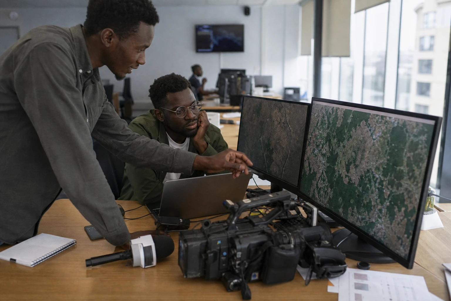
In Kenya, the battle to protect forests is no longer fought only on the ground. It is also fought through data, images and the ability to verify what is actually growing. In this context, the Kenya Forest Service and the Kenya Space Agency have opened discussions on using satellite observation to monitor forest cover and reforestation programmes.
The stakes are tangible for Nairobi and the coastal counties, where pressure on forest areas affects water, soils, agriculture and livelihoods. At the same time, the country remains bound by a clear constitutional obligation: to maintain at least 10% tree cover across its territory. The law and public policy therefore provide clear benchmarks; what is often lacking is precise, regular and credible measurement on the ground.
New cooperation between forestry and space
Formal talks took place in Nairobi on Wednesday 12 August between Kenya Forest Service Director Alex Lemarkoko and Kenya Space Agency Director-General Hillary Kipkosgei. The project is straightforward to describe, but important to deliver: combining satellite imagery, geospatial tools and Earth observation data to monitor changes in the country’s forests and assess tree-planting campaigns.
This is not a technological gimmick. The Kenya Space Agency is mandated to coordinate the use of space technologies by public bodies and to develop national capabilities in this field. The Kenya Forest Service, for its part, is responsible for conserving, developing and sustainably managing the country’s forest resources. The meeting between the two institutions therefore brings together two public missions that have so far operated largely in parallel.
The choice is also political in the administrative sense. In a country where forest information is sometimes slow to circulate, satellite imagery can narrow the gap between the announcement of a programme and its actual impact on the ground. It can help identify degraded areas, track the recovery of plantations and distinguish planted areas from areas where trees are genuinely alive. That is a crucial difference, because planting is not the same as restoring.
High figures, but a credibility challenge
The issue has emerged against a grim backdrop. The Kenya Forest Service’s Forest Status Report 2024 records an average annual loss of 84,716 hectares of forest due to deforestation, alongside 14,934 hectares of degraded forest. The same report puts indirect economic losses linked to water regulation, soil protection and agricultural production at 3% of annual GDP, or 534 billion shillings.
These figures should be treated with caution, but they indicate the scale of the problem. Kenya remains below the 10% forest-cover threshold set by its Constitution, although earlier national assessments have reported progress in overall tree cover. In other words, the country is making headway with planting, but remains vulnerable when it comes to conservation and the survival of young trees.
Kenya’s coast illustrates this tension. Between 2020 and 2025, forest losses in coastal forests doubled, with 14,000 hectares lost in 2025, compared with an annual average of 6,800 hectares between 2015 and 2020, according to figures cited in the report. This kind of change makes satellite monitoring particularly useful, as it allows areas, periods and trends to be compared more regularly than through field inspections alone.
Jaza Miti: plant more, count better
The Kenyan government has launched the Jaza Miti programme, which aims to plant 15 billion trees by 2032. Public officials already say that more than 1.78 billion trees have been planted. The effort is part of a broader landscape restoration strategy, previously outlined by the Kenyan presidency, that combines reforestation, watershed protection and the revival of vegetation cover.
But the debate is no longer only about the volume of planting. It is about the quality of monitoring. Without robust data, it is difficult to know how many saplings survive beyond the first dry seasons, which counties are performing best and where losses are greatest. This is precisely where remote sensing can provide a decisive public service: producing evidence rather than announcements.
This issue extends beyond forestry alone. In Kenya, ecosystem restoration also affects water, energy and food. In rural areas, a healthy forest protects water sources, limits erosion and cushions the impact of climate shocks. In cities, it affects air quality and future adaptation costs. Better monitoring will therefore bring not just administrative benefits, but economic and social ones too.
Regional implications for East Africa and beyond
Kenya is not moving forward alone. Across the region, East African states are also seeking to better integrate climate, soils, forests and food security. The use of satellites to monitor landscapes reflects a broader continental shift, as Earth observation becomes a tool for technological sovereignty, public planning and transparency. The Kenya Space Agency, established as a national public agency, is part of this emerging African technology ecosystem.
At continental level, the initiative echoes the African Union’s priorities on climate adaptation, the restoration of degraded land and the expansion of African digital capabilities. It is also a reminder that a reforestation programme has lasting value only if it is measured, verified and adjusted. The next point to watch will therefore be how these discussions are translated into action: the implementation timetable, monitoring methods, data-sharing arrangements and coordination with local authorities, particularly in the most fragile forest areas.