Algeria
 Egypt
 Libya
 Morocco
 Sudan
 Tunisia
 Benin
 Burkina Faso
 Cabo Verde
 Côte d'Ivoire
 Ghana
 Guinea
 Guinea-Bissau
 Liberia
 Mali
 Mauritania
 Niger
 Nigeria
 Senegal
 Sierra Leone
 The Gambia
 Cameroon
 Central African Republic
 Chad
 DR Congo
 Equatorial Guinea
 Gabon
 Republic of the Congo
 São Tomé and Príncipe
 Burundi
 Comoros
 Djibouti
 Eritrea
 Ethiopia
 Kenya
 Madagascar
 Malawi
 Mauritius
 Mozambique
 Rwanda
 Seychelles
 Somalia
 South Sudan
 Tanzania
 Uganda
 Angola
 Botswana
 Eswatini
 Lesotho
 Namibia
 South Africa
 Zambia
 Zimbabwe
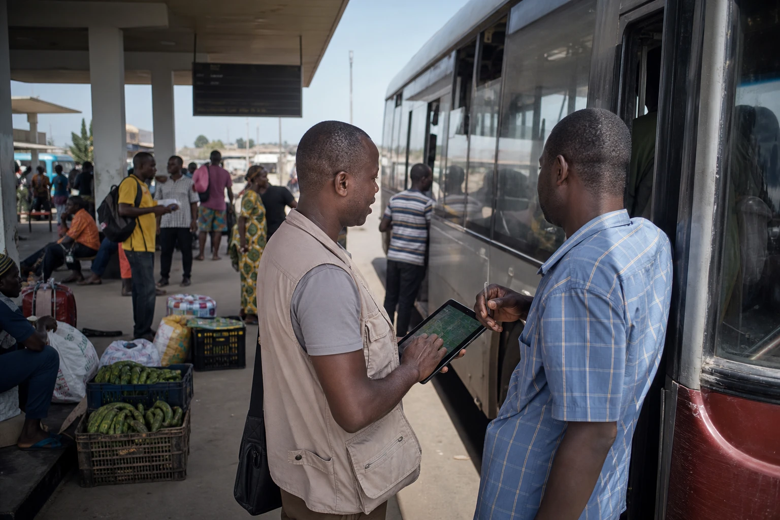
For Togo, the priority is not to own a satellite quickly. It is first to learn how to use images from space to make better decisions on the ground. Agriculture, water, mineral resources and renewable energy are at the heart of the new rapprochement with Kyrgyzstan.
Co-operation built around practical uses
Togo and Kyrgyzstan concluded a co-operation agreement in the space sector on Thursday 1 October 2026. The announcement came as Kyrgyzstan’s first national satellite was placed in orbit from California aboard a SpaceX Falcon 9 rocket. The launch was confirmed by the Kyrgyz press and by information linked to the country’s presidency.
Developed and assembled in Kyrgyzstan by the state-owned company Kyrgyz Asman, the spacecraft is designed to observe the Earth. Its data is intended, in particular, to monitor the condition of crops, agricultural land and pastures. It could also help detect signs of drought, assess water resources and produce preliminary yield estimates.
The system is also useful for environmental monitoring. Satellite images can document changes in forests and degraded areas, as well as the impact of natural events. In a country such as Togo, this capability can complement field surveys and available meteorological data.
In the first phase of the partnership, Bishkek is to provide data to Togo. The technical component also includes sharing expertise and training Togolese personnel to analyse images. This approach gives Lomé access to space-based information without immediately having to fund the design and launch of a national satellite.
Togo builds on existing initiatives
This co-operation is not starting from scratch. Togo has been developing public uses of Earth observation for several years. A laboratory backed by the United Nations Development Programme, with announced funding of more than 170 million CFA francs, has notably been set up at the University of Lomé to work on satellite data and its processing.
These tools are relevant to several sectors. They can help monitor food security, prevent disasters and manage natural resources. They also provide a shared basis for government departments, researchers and people working on the ground, provided the data is accessible and translated into directly usable information.
In the Savanes region in the north of the country, initiatives are already combining satellite imagery, artificial intelligence and agricultural information. A pilot project supported by the UNDP and Japan covers an area of about 1,000 square kilometres in the prefectures of Cinkassé and Tône. It aims to monitor crops and anticipate certain climate risks.
This region occupies a particular place in Togo’s public policies. It combines intensive agricultural activity and pressure on land and water resources with increased exposure to climate hazards. Space-based data can help target interventions, but it cannot replace farmers, local government services or local knowledge.
Expected benefits for agriculture and communities
For producers, the value lies first and foremost in having regular, precise information. A satellite image does not directly provide a solution to a farmer. It can, however, indicate declining crop vigour, abnormal vegetation cover or an area at risk of water shortages.
These indicators can then be cross-checked against observations from agricultural services and forecasts from the National Meteorological Agency. They can support decisions on sowing, irrigation, soil protection and the distribution of inputs. The system’s value will therefore depend on how quickly its findings are turned into understandable advice.
The partnership also aims to support the exploration of strategic minerals and the development of renewable energy. Observation data can help map certain areas, identify changes in land use and prepare site-selection studies. However, it will need to be supplemented by geological, environmental and social studies before any investment decisions are made.
For Togo’s Minister of Public Sector Efficiency and Digital Transformation, Cina Lawson, space technology should be judged by its practical applications. She summed up this approach by explaining that its value lies in what it brings to the population and the economy, particularly in agriculture, natural resource management and clean energy.
Opening the way to new partnerships
The choice of Kyrgyzstan gives this co-operation a particular dimension. Togo is in West Africa and works within ECOWAS, the Economic Community of West African States. Kyrgyzstan, meanwhile, is in Central Asia. Their rapprochement illustrates South-South co-operation that does not necessarily follow traditional international co-operation channels.
The partnership could go beyond simply transferring images. The two countries are considering expanding their exchanges in the space sector and, in time, exploring the possibility of jointly developing or launching future spacecraft. Such a prospect would nevertheless depend on developing expertise, financing projects and establishing clear data governance.
For Togo, the challenge will also be to circulate this information beyond Lomé. Central government departments often have greater technical resources than regional services. Yet the expected benefits concern above all agricultural communities, municipalities exposed to flooding and areas where pressure on natural resources is greatest.
At the West African level, this initiative aligns with efforts by CILSS and its regional centre AGRHYMET, which are developing climate monitoring and early warning tools for countries in the Sahel and West Africa. The Kyrgyz satellite’s images will therefore be most valuable if they are compatible with existing regional systems.
The next step will be to measure results on the ground. The frequency and resolution of the data provided, the training actually delivered and its use by Togolese services will all need to be assessed. Space co-operation between Lomé and Bishkek will not be decided solely in orbit. It will be judged in the fields, river basins and communities where decisions must be made quickly.
Information published by the Kyrgyz agency Kabar details the satellite’s planned agricultural and environmental uses. In Togo, the UNDP sets out applications for satellite data in food security, disaster prevention and natural resource monitoring.