Algeria
 Egypt
 Libya
 Morocco
 Sudan
 Tunisia
 Benin
 Burkina Faso
 Cabo Verde
 Côte d'Ivoire
 Ghana
 Guinea
 Guinea-Bissau
 Liberia
 Mali
 Mauritania
 Niger
 Nigeria
 Senegal
 Sierra Leone
 The Gambia
 Togo
 Cameroon
 Central African Republic
 Chad
 DR Congo
 Equatorial Guinea
 Gabon
 Republic of the Congo
 São Tomé and Príncipe
 Burundi
 Comoros
 Djibouti
 Eritrea
 Ethiopia
 Kenya
 Madagascar
 Malawi
 Mozambique
 Rwanda
 Seychelles
 Somalia
 South Sudan
 Tanzania
 Uganda
 Angola
 Botswana
 Eswatini
 Lesotho
 Namibia
 South Africa
 Zambia
 Zimbabwe
Maritime sovereignty on a new scale
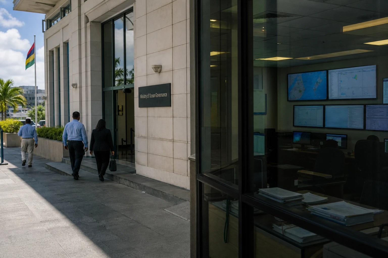
In Port Louis, the issue is not simply about gaining square kilometres on a map. For an island state such as Mauritius, every extension of the continental shelf means greater control over seabed resources, greater legal weight in the Indian Ocean, and greater responsibilities too. Around Rodrigues, this advance opens up new ground where diplomacy, science and maritime law intersect.
Rodrigues is not merely a peripheral point. The island lies about 560 kilometres east of Mauritius and covers 108 km2, within a Mauritian territory where the sea is far more extensive than the land. Mauritius’s exclusive economic zone covers about 2.3 million km2, and the country has already secured joint jurisdiction with Seychelles over 396,000 km2 of continental shelf in the Mascarene Plateau region.
The Rodrigues case, at the end of a long UN process
The process began on 6 May 2009, when Mauritius submitted a case to the UN Commission on the Limits of the Continental Shelf for an extension of the continental shelf in the Rodrigues region. The review then continued for years, with Mauritius submitting technical additions, including a revised summary in 2015. In 2023, UN documents still indicated that the Commission had approved the examination of the partial submission relating to Rodrigues.
This history helps put the significance of the announced decision into perspective. Under the practical application of the law of the sea, recognition of an extended continental shelf does not transfer full sovereignty over the water column, but it does confer sovereign rights over the seabed and subsoil, where mineral resources and strategically important scientific data may be found. The Mauritian ministry responsible for the continental shelf explains that its role is to secure these rights, prepare submissions to the UN and develop a management framework for any potential exploration.
Mauritian authorities describe the extension as a historic advance. But they also acknowledge that it is not a windfall that can be exploited immediately. Before any exploration, national law must be adapted, governance rules set, environmental monitoring organised and limits defined on what can be explored without undermining marine ecosystems. This caution is all the more important given that Mauritius has also announced wider protection initiatives in its maritime areas, particularly around the Chagos.
What Mauritius can realistically gain
The maritime gain around Rodrigues is more than a symbolic announcement. It could strengthen Mauritius’s ability to map its seabed, defend its rights in international forums and attract oceanographic research programmes. It could also underpin a long-term economic strategy focused on marine data, geoscience, the governance of non-living resources and, eventually, activities linked to mineral exploration, if the legal, environmental and political framework allows.
But the benefits will not be evenly distributed. In Port Louis, the decision strengthens the country’s diplomatic and legal position. In Rodrigues, it could open up prospects for research, skilled jobs and institutional benefits, without removing the day-to-day priorities: water, electricity, air links, freight costs and the development of public services. Recent budgets already show that the island remains dependent on substantial public transfers and on basic infrastructure that needs to be strengthened.
One simple point also bears repeating: the larger Mauritius’s maritime area becomes, the greater the burden of managing it. An island state must monitor fishing, traffic, environmental risks, scientists on missions and competing uses. Command of a vast ocean area is measured not only by the number of square kilometres, but by the ability to enforce the law, protect ecosystems and turn legal status into credible public policy.
A signal for the Indian Ocean and maritime Africa
In the western Indian Ocean, Mauritius is consolidating a distinctive profile: a small land territory, but an immense maritime horizon. This position matters to the Southern African Development Community, where island states are increasingly asserting their place in debates on the blue economy, the security of maritime routes and the conservation of resources. It also matters to the African Union, which is urging coastal and island states to make better use of the sea as a driver of development rather than simply a border.
The Mauritian case also sends a broader message to African countries bordering large maritime areas. The law of the sea can deliver major gains, but only through a long-term, technical and costly strategy. Mauritius shows that a small state can defend significant rights if it invests in bathymetric surveys, international law, UN diplomacy and administrative continuity. The next step will not be an inauguration. It will be putting in place the rules, oversight and decisions needed to turn a maritime extension into a lasting national policy.