Algeria
 Egypt
 Libya
 Morocco
 Sudan
 Tunisia
 Benin
 Burkina Faso
 Cabo Verde
 Côte d'Ivoire
 Ghana
 Guinea
 Guinea-Bissau
 Liberia
 Mali
 Mauritania
 Niger
 Nigeria
 Senegal
 Sierra Leone
 The Gambia
 Togo
 Central African Republic
 Chad
 DR Congo
 Equatorial Guinea
 Gabon
 Republic of the Congo
 São Tomé and Príncipe
 Burundi
 Comoros
 Djibouti
 Eritrea
 Ethiopia
 Kenya
 Madagascar
 Malawi
 Mauritius
 Mozambique
 Rwanda
 Seychelles
 Somalia
 South Sudan
 Tanzania
 Uganda
 Angola
 Botswana
 Eswatini
 Lesotho
 Namibia
 South Africa
 Zambia
 Zimbabwe
Maps tell more than an addition of percentages
In Cameroon, electoral figures never tell the whole story. They take on their true significance when viewed territory by territory, department by department, where political loyalties, administrative imbalances and, at times, turnout anomalies play out. That is precisely what the maps published from the official results of the 12 October 2025 presidential election bring to mind: they show a fragmented political landscape, legible at a fine-grained level but beset by deep tensions over trust.
Cameroon belongs to CEMAC, the Central African Economic and Monetary Community, and institutional life there remains structured around a highly concentrated decision-making centre in Yaoundé. The 2025 presidential election took place within this framework: proclamation by the Constitutional Council, an African Union observation mission, and then a series of domestic and regional reactions concerning the credibility of the vote and the handling of its aftermath. Central Africa therefore did not merely follow a Cameroonian election; it watched a test of political stability in a pivotal country in the sub-region.
What the official results say
The official results gave Paul Biya victory with 53.66% of the vote, ahead of Issa Tchiroma Bakary on 35.19%, according to data cited by several authoritative sources. IDEA describes it as the incumbent president’s eighth consecutive term, while the Constitutional Council proclaimed the victory on 27 October 2025. Protests followed in several cities, and the UN called on political actors to show restraint.
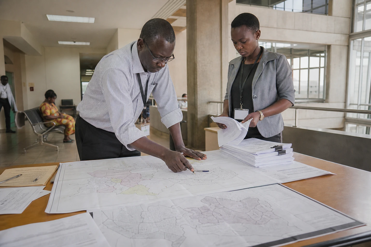
Above all, the maps make the actual geography of the vote visible. The North remained more favourable to Issa Tchiroma Bakary, while the South confirmed the Biya camp’s strong foothold. But what is distinctive about the maps published by the Les Afriques dans le monde laboratory is that they go down to department level, whereas the Constitutional Council had mainly released figures legible at this scale. This level of detail makes it possible to compare neighbouring areas and thus identify shifts in electoral behaviour that regional totals often conceal.
In the South-West, the Meme department is shown with official turnout below 50%, while neighbouring Ndian exceeds 90%. In the West, the voting map shows a clear advance by Tchiroma along an axis running from Limbe to Bafoussam, with him taking the lead in seven departments in the western zone. These differences matter politically. They are not merely a numerical snapshot; they raise questions about the integrity of the count, the strength of local mobilisation and, in some areas, the impact of security or insecurity on voting.
Ndian department is in the South-West region, one of the country’s most sensitive areas, marked by the Anglophone crisis and movement restrictions that weigh on daily life. Meme, by contrast, is more central to urban and commercial dynamics and, according to the figures cited, saw a much lower turnout. This contrast is a useful reminder: in a Cameroonian election, the voting map sheds light not only on political preference, but also on the practical conditions for reaching polling stations, the authorities’ ability to organise the vote and the relationship between local administration and citizens.
An election, followed by a battle over legitimacy
The October 2025 sequence went beyond a straightforward contest between two candidates. Issa Tchiroma Bakary claimed victory before the official proclamation, after which his camp released alternative trends based on a partial compilation of polling-station reports. This strategy fuelled a battle over legitimacy, not only before the institutions but also on social media and in the streets. Civil society observers, for their part, reported irregularities on election day, from the late publication of voter lists to problems with the presence of party representatives at some polling stations.
In this context, the LAM maps serve a useful political purpose: they give the public, researchers and parties a shared tool for understanding the results. Political geographer Christian Bouquet argues for this kind of mapping as a way to move beyond simply commenting on raw figures. The stakes are high in a country where decentralisation has long been delayed, and where the department remains largely an administrative unit rather than a space of local sovereignty. The map therefore forces a different view of Cameroon: not as a single block, but as a network of territories unevenly connected to the national vote.
The consequences went beyond the electoral sphere. The African Commission on Human and Peoples’ Rights condemned the disproportionate use of force against peaceful protesters and recalled Cameroon’s obligations regarding civil liberties. Human Rights Watch reported at least four deaths in post-election violence, while the UN urged all actors to avoid inflammatory rhetoric. These statements do not resolve the substance of the dispute, but they show that a Cameroonian election is no longer read only within the country. It now resonates in African and UN forums.
What Cameroon says to Central Africa
At the level of Central Africa, the Cameroonian case raises a simple question: how can a credible transfer of power be organised in a system where the institutional centre remains highly dominant, territorial administration carries considerable weight and protests often move first to the streets and then to digital networks? The African Union observation mission and the monitoring of the situation by African human rights bodies show that the Cameroonian election is not a purely domestic issue. It touches on electoral standards, CEMAC stability and the way regional institutions support sensitive political transitions.
Ultimately, these maps say something broader than the 2025 presidential election. They show a Cameroon where the geography of voting, the strength of local political machinery and the question of civic trust remain closely intertwined. They also show that, in a country where Yaoundé remains the political centre, departmental margins can reveal truths erased by national averages. For Central Africa, the message is clear: electoral stability is measured not only by the name of the winner, but by institutions’ ability to make the territory legible, the vote verifiable and dissent peaceful.