Algeria
 Egypt
 Libya
 Morocco
 Sudan
 Tunisia
 Benin
 Burkina Faso
 Cabo Verde
 Côte d'Ivoire
 Ghana
 Guinea
 Guinea-Bissau
 Liberia
 Mali
 Mauritania
 Niger
 Nigeria
 Senegal
 Sierra Leone
 The Gambia
 Togo
 Cameroon
 Central African Republic
 Chad
 DR Congo
 Equatorial Guinea
 Gabon
 São Tomé and Príncipe
 Burundi
 Comoros
 Djibouti
 Eritrea
 Ethiopia
 Kenya
 Madagascar
 Malawi
 Mauritius
 Mozambique
 Rwanda
 Seychelles
 Somalia
 South Sudan
 Tanzania
 Uganda
 Angola
 Botswana
 Eswatini
 Lesotho
 Namibia
 South Africa
 Zambia
 Zimbabwe
In a forest-rich country, data from the sky becomes a tool of sovereignty
In Congo, the issue is not simply to “own” a satellite. Above all, it is about gaining a clearer view of the territory, from Brazzaville to forested, agricultural and riverside areas where reliable information often arrives late. In a CEMAC member state — the Central African Economic and Monetary Community — control of spatial data can also matter for public policy, security and economic planning.
This development is part of a broader sequence. Brazzaville has already highlighted its research, innovation and digital transformation policy, while forest and climate monitoring tools are playing an increasingly important role in Congolese public action. In a country shaped by the Congo Basin, Earth observation is no technological luxury: it can be used to document forests, floods, crops and certain extractive activities.
Space project moves forward between Brazzaville and Astana
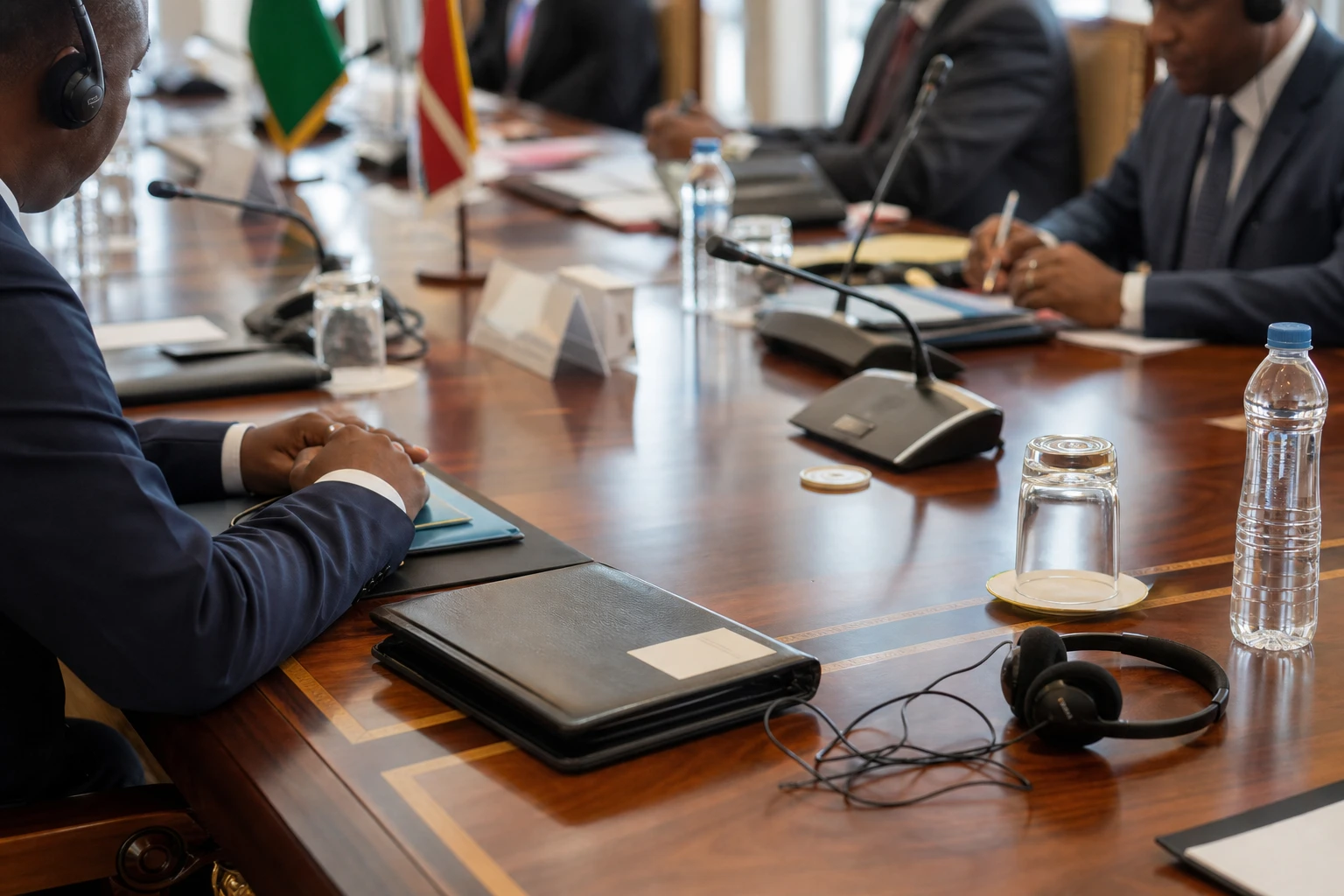
On 10 September 2026 in Paris, on the sidelines of the first International Space Summit, Denis Sassou N’Guesso held talks with Kazakh Deputy Prime Minister Zhaslan Madiyev on the project for Congo’s first national Earth observation satellite. The summit, held in Paris on 9 and 10 September 2026, brought together foreign delegations, international organisations, parliamentarians, scientists and private-sector representatives.
The co-operation did not begin in Paris. On 4 February 2025, Kazakhstan announced the signing of an investment agreement with Congolese representatives to develop and implement a high-resolution Earth remote-sensing space system for the Republic of the Congo. According to the Kazakh side, the project provides for a satellite platform and applications in national security, agriculture, the environment, urban planning and natural resource monitoring.
At that stage, Kazakh authorities also spoke of integrating Congo into an international constellation of observation satellites, with an arrangement already including Mongolia and, in the longer term, other partners. The partnership is therefore presented as a technical project, but also as an exchange of expertise. The Paris talks covered the training of Congolese officials in artificial intelligence and the formation of joint teams in space, digital and emerging technologies.
Kazakh officials summed up this co-operation by recalling that, in their words, it involves the launch of a first spacecraft belonging to Congo. The phrase captures the political stakes of the project: for Brazzaville, the aim is not merely to buy images, but to begin building national capacity.
What the satellite could change, in practice, for the state and its people
The future system is presented as a high-resolution remote-sensing tool. In practice, it could help monitor forests, agricultural corridors, certain mining areas and districts exposed to flooding. For the state, this means a stronger basis for decision-making. For local authorities, it could mean more accurate maps, faster alerts and less improvised urban planning.
The crux of the matter, however, is the ability to use the data. Without trained engineers, analysts and institutions capable of processing the images, a satellite remains an expensive symbol. That is why training is central. Congo is seeking to develop expertise in artificial intelligence, digital technologies and the use of spatial data. This approach is consistent with the line already set out by the Congolese authorities on innovation and digital transformation.
The impact will not be the same everywhere. In Brazzaville, the expected gains relate primarily to administrative co-ordination, security and planning. In rural areas, the benefits lie more in monitoring crops, forests and climate risks. In the formal economy, transport, planning and natural resource operators may see it as a working tool. In the informal economy, the effects will be more indirect, but potentially real if public data becomes more available and is shared more widely.
A signal for Central Africa as space becomes strategic
In Central Africa, the space project has a regional dimension. Congo operates within the CEMAC area, where the movement of goods, capital and data remains uneven, but where states are seeking to modernise their management tools. A national observation satellite can strengthen data diplomacy, particularly on climate, forests and border management.
The significance also extends beyond Congo alone. The Congo Basin is at the heart of African and international discussions on climate, forests and sovereignty over resources. In this context, having data produced or controlled locally becomes a negotiating asset as well as an administrative tool. This is one reason why Brazzaville is increasingly highlighting environmental measurement, reporting and verification technologies.
What happens next will depend on the technical timetable, financing and the actual transfer of expertise. The project will be followed over the coming months through implementation announcements, the development of joint teams and the emphasis placed on civilian applications. In today’s Africa, space is no longer the preserve of great powers: it is becoming a lever for development, security and public decision-making. Congo now wants to take part from Brazzaville, with an Asian partner and a clearly stated national ambition.