Algeria
 Egypt
 Libya
 Morocco
 Sudan
 Tunisia
 Benin
 Burkina Faso
 Cabo Verde
 Côte d'Ivoire
 Ghana
 Guinea
 Guinea-Bissau
 Liberia
 Mali
 Mauritania
 Niger
 Nigeria
 Senegal
 Sierra Leone
 The Gambia
 Cameroon
 Central African Republic
 Chad
 DR Congo
 Equatorial Guinea
 Gabon
 Republic of the Congo
 São Tomé and Príncipe
 Burundi
 Comoros
 Djibouti
 Eritrea
 Ethiopia
 Kenya
 Madagascar
 Malawi
 Mauritius
 Mozambique
 Rwanda
 Seychelles
 Somalia
 South Sudan
 Tanzania
 Uganda
 Angola
 Botswana
 Eswatini
 Lesotho
 Namibia
 South Africa
 Zambia
 Zimbabwe
When a map becomes a diplomatic issue
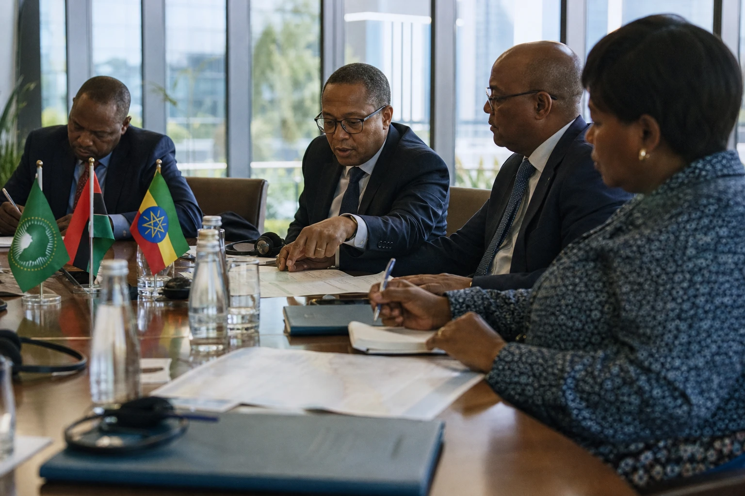
A map may seem neutral. Yet it can shape how states, pupils and the media rank the world. That is precisely what Africa sought to underline in New York, advancing a text calling for misleading projections to be abandoned when comparing the land areas of continents.
The debate is not new. It concerns school cartography and diplomacy, as well as the continent’s symbolic place in international representations. For African capitals, the stakes go beyond technique: they concern the visibility of a continental space comprising 54 African Union member states, often viewed through tools designed elsewhere and circulated without sufficient explanation.
What the resolution really changes
On Friday 4 September 2026, the United Nations General Assembly adopted a resolution led by Togo on behalf of the African Group. The text, referenced A/80/L.104, invites governments, international organisations, schools, media outlets and digital platforms to favour equal-area maps such as Equal Earth when comparing land areas matters. The aim is not to ban Mercator, but to move away from its automatic use, which distorts sizes.
The vote follows a lengthy process of diplomatic groundwork. The African Union had already endorsed the initiative at its 39th ordinary session, held on 14 and 15 February 2026 in Addis Ababa. In its decision, it took note of Togo’s concept note, commended Lomé for its commitment and stated that the Mercator projection distorts the actual size of the African continent, while influencing economic and geopolitical perceptions.
Togo, for its part, has championed the issue as a matter of continental education. Its foreign minister, Robert Dussey, put forward a simple idea at the UN: correcting the map means correcting a habit of reading the world. In the AU’s working documents, the country is even designated as the initiative’s champion, tasked with monitoring its implementation alongside the African Union Commission and producing annual reports.
Why Mercator still shapes public perceptions
The Mercator projection was designed in the 16th century for maritime navigation. It remains useful for plotting routes, but enlarges areas near the poles and visually shrinks regions close to the equator. On a flat map, Africa therefore appears smaller than it really is, while Greenland or northern Europe seem to take up more space than they actually do. Popular cartographic sources and authoritative studies agree on this point.
Greenland is often cited because the example makes a strong impression. In reality, the African continent is about 14 times larger. This comparison is not a political slogan, but a useful geographical reminder. It shows just how much a map can shape perceptions of scale and weight, and, in turn, the importance assigned to a region of the world.
Equal Earth, the projection promoted by the resolution’s supporters, belongs to the equal-area map family. It preserves proportions more accurately, although no flat projection can perfectly represent a sphere. In practice, the debate is therefore not about doing away with maps, but about choosing tools according to their use: navigation, education, comparative geography or institutional communication.
A battle over representation as much as a cartographic debate
In Lomé, Addis Ababa and other African capitals, the issue is seen as one of narrative sovereignty. The African Union’s Agenda 2063, which sets out the continent’s long-term transformation, already stresses the need for Africa to control its image, its narrative and its place in the world. The decision on maps fits into this broader logic: a continent seeking to be represented according to its actual dimensions, rather than through poorly explained visual legacies.
For African education systems, the impact could be tangible. Textbooks, wall maps and digital materials shape lasting habits. If maps in use show more accurate proportions, pupils will gain a fairer understanding of land areas, spatial relationships and comparisons between regions. For the media and technology platforms, the message is similar: visual accuracy is not a luxury, but a condition for understanding.
The political significance is even broader. By backing cartographic reform, African states are reminding the world that representations of the world are never neutral. They influence perceptions of economic weight, resources, strategic margins and geopolitical balances. The African Union put it in its own terms: a distorted map can fuel bias about the continent’s viability, security and growth potential.
What to watch after the adoption
The General Assembly vote does not settle everything. A UN resolution cannot, on its own, erase the habits of ministries, newsrooms, schoolbook publishers or digital giants. It does, however, provide diplomatic leverage. In the coming months, the real test will be practical uptake: which administrations will change their materials, which education systems will incorporate these maps, and which media outlets will follow the recommendation without reducing it to a symbol.
The African timetable also matters. The AU has already appointed a champion for the initiative and called for annual monitoring. That means the issue does not end with the New York vote. It is entering a phase of implementation, education and standardisation. In short, the battle is no longer only about which map to adopt, but about how Africa wants to be seen, taught and compared in the world’s institutions.
On this issue, Togo secured more than a procedural victory. Lomé turned a demand often confined to expert circles into a multilateral issue. And Africa reminded the UN itself that a map is never just a drawing: it is a grammar of the world.