Algeria
 Egypt
 Libya
 Morocco
 Sudan
 Tunisia
 Benin
 Burkina Faso
 Cabo Verde
 Côte d'Ivoire
 Ghana
 Guinea
 Guinea-Bissau
 Liberia
 Mali
 Mauritania
 Niger
 Nigeria
 Senegal
 Sierra Leone
 The Gambia
 Togo
 Cameroon
 Central African Republic
 Chad
 DR Congo
 Equatorial Guinea
 Gabon
 São Tomé and Príncipe
 Burundi
 Comoros
 Djibouti
 Eritrea
 Ethiopia
 Kenya
 Madagascar
 Malawi
 Mauritius
 Mozambique
 Rwanda
 Seychelles
 Somalia
 South Sudan
 Tanzania
 Uganda
 Angola
 Botswana
 Eswatini
 Lesotho
 Namibia
 South Africa
 Zambia
 Zimbabwe
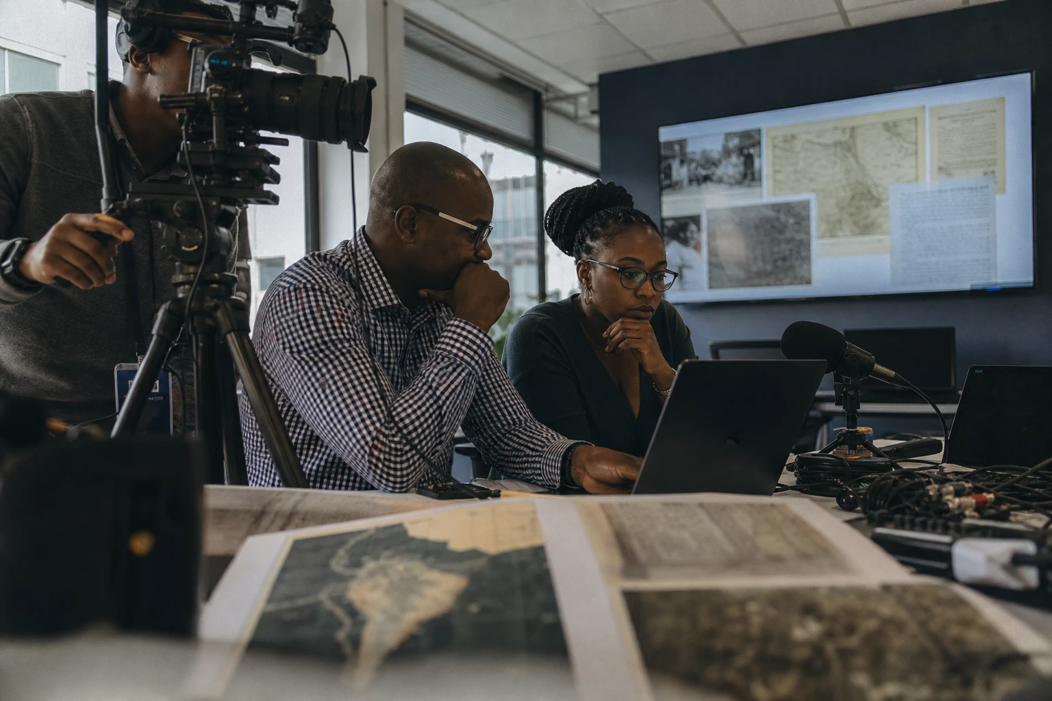
As the map advances, power follows
In the 19th century, Africa was not merely traversed. It was also measured, described, divided up and interpreted by European travellers whose journals weighed heavily in their states’ political decisions. Behind the tales of heroic achievement lay another reality: trade routes, kingdoms, African guides, translators and local rulers made these journeys possible. Without them, much of this geography would have remained beyond reach.
This movement took place during the period known as the “Scramble for Africa”, when European powers turned exploration into a tool of influence. Rivers, lakes and tracks surveyed in the field served science, but also the establishment of outposts, the signing of treaties and, often, the opening of colonial routes. This is the dual nature that must be understood, from the Atlantic to the Congo Basin, from the Sahel to the Great Lakes.
Journeys that changed how the continent was seen
David Livingstone, born in Scotland in 1813, worked for many years in southern Africa before his documented west-to-east crossing between 1853 and 1856. His name remains associated with Victoria Falls, which he brought to the attention of the European world in 1855, as well as Lakes Nyasa and Tanganyika. But his journey also tells another story: Christian missions, British support and scholarly geography often went hand in hand.
Henry Morton Stanley, born John Rowlands in Wales in 1841, first found Livingstone at Ujiji, near Lake Tanganyika, in 1871. He then led major expeditions in the Congo Basin between 1874 and 1877. His surveys clarified the course of the Congo River for Europeans, but they also paved the way for the Belgian presence in the region. This dimension remains central to understanding the ambivalence of his legacy.
Mungo Park, a Scottish doctor born in 1771, explored West Africa in the late 18th century. He reached the Niger near Ségou in 1796, then published an account that made a significant contribution to European knowledge of the river. His second expedition, in 1805, ended near the Bussa Rapids, in present-day Nigeria. His name remains associated with the first well-documented European observation of this major artery of the Sahel.
René Caillié, born in France in 1799, achieved what many thought impossible: reaching Timbuktu and returning alive. He arrived there in April 1828, after a long journey that began in Senegal, posing as a Muslim pilgrim. His return via the Sahara and Morocco gave Europe an account of the city and Sahelian movements that was considered credible.
Richard Francis Burton and John Hanning Speke embodied the feverish quest for the sources of the Nile in East Africa. Burton, born in Torquay in 1821, explored the Great Lakes with Speke. The latter, born in 1827, reached Lake Victoria in 1858 and argued that it was the Nile’s main source. The scientific debate was intense, but their passage durably shaped the European map of East Africa.
When exploration becomes a colonial instrument
In the heart of the continent, Pierre Savorgnan de Brazza followed a different, more diplomatic method in appearance. Born in Rome in 1852 and naturalised as a French citizen in 1874, he explored the Ogooué and then the Congo Basin. In 1880, he founded Brazzaville on the river’s right bank, following agreements concluded with the makoko, ruler of the Téké. This choice neatly illustrates the logic of the time: negotiation often served as a gateway to colonial sovereignty.
Heinrich Barth, born in Hamburg in 1821, left major documentation on the Sahara, Lake Chad, the Hausa states and Timbuktu. His observations on societies, languages and trade routes contributed to 19th-century geography. They also remind us that these regions were by no means empty: they were structured by empires, centres of learning and long-standing trade.
Samuel White Baker, born in London in 1821, worked on the upper Nile. In 1864, he reached Lake Albert and confirmed its role in the White Nile system. Later appointed governor-general of Equatoria, he claimed to be fighting the slave trade. But his actions were also part of the expansion of Egyptian administration southwards, in a region already crossed by imperial rivalries.
Alexandre de Serpa Pinto, born in Portugal in 1846, took part in Portuguese expansion in southern Africa. His major journey from 1877 to 1879 took him from Angola to South Africa, through areas linked to the Congo and Zambezi basins. By the end of the century, such journeys had served Portuguese claims between Angola and Mozambique, just as London and Lisbon were disputing the future of the African interior.
What these maps still tell us today
These explorers enriched European geography, but they never acted alone. Their achievements depended on very practical African knowledge: caravan routes, understanding of the seasons, local languages, political alliances, accommodation, river navigation and survival in territory unfamiliar to them. In several cases, African guides and intermediaries made the expeditions possible, while accounts published in Europe often relegated them to the background.
Their routes also had very concrete effects on the balance of power. Maps paved the way for garrisons, concessionary companies, unequal treaties and colonial administrations. In the Congo Basin, around the Niger, in the Sahel and towards the Great Lakes, exploration often preceded political control. This is therefore not simply a story of scholarly curiosity, but one of a shift in which geographical knowledge became a lever of power.
On an African scale, the significance of this history goes beyond individual figures. It is a reminder that the continent was observed from outside, but also described from within, by societies that already knew their rivers, routes and markets. Even today, rereading these expeditions makes it possible to distinguish knowledge produced about Africa from control exercised over it. That is the true continental significance of these accounts: the way they prepared the ground for political partition, while leaving behind valuable records of African regions undergoing profound transformation in the 19th century.