Algeria
 Egypt
 Libya
 Morocco
 Sudan
 Tunisia
 Benin
 Burkina Faso
 Cabo Verde
 Ghana
 Guinea
 Guinea-Bissau
 Liberia
 Mali
 Mauritania
 Niger
 Nigeria
 Senegal
 Sierra Leone
 The Gambia
 Togo
 Cameroon
 Central African Republic
 Chad
 DR Congo
 Equatorial Guinea
 Gabon
 Republic of the Congo
 São Tomé and Príncipe
 Burundi
 Comoros
 Djibouti
 Eritrea
 Ethiopia
 Kenya
 Madagascar
 Malawi
 Mauritius
 Mozambique
 Rwanda
 Seychelles
 Somalia
 South Sudan
 Tanzania
 Uganda
 Angola
 Botswana
 Eswatini
 Lesotho
 Namibia
 South Africa
 Zambia
 Zimbabwe
When a map gets it wrong, the symbolism goes beyond a simple blunder
In Rio de Janeiro, in the middle of a global HIV conference, a US State Department slide managed to muddle basic geographical landmarks. It moved Côte d’Ivoire out of West Africa, turned Nigeria into a landlocked country and distorted the outlines of several nations, to the point of making the map almost unrecognisable. The incident quickly spread because it was about more than cartography: it affected the credibility of those speaking about public health to African partners.
For some members of the African public, the unease is obvious. Maps are not decorative in international negotiations. They are used to locate needs, logistics corridors, health borders and budget priorities. When a country makes such a mistake as moving Abidjan to the other side of the continent, it weakens its message at the very moment it claims to be defending vital programmes.
A West African context marked by pressure on health systems
Côte d’Ivoire is a West African country and a member of ECOWAS; its capital is Yamoussoukro. Across the sub-region, health policies remain closely tied to external funding, supply chains and states’ ability to take back control of services long supported by international partners. This is particularly true of HIV, where the continuity of treatment depends on a fragile balance between foreign support, national budgets and civil society organisations.
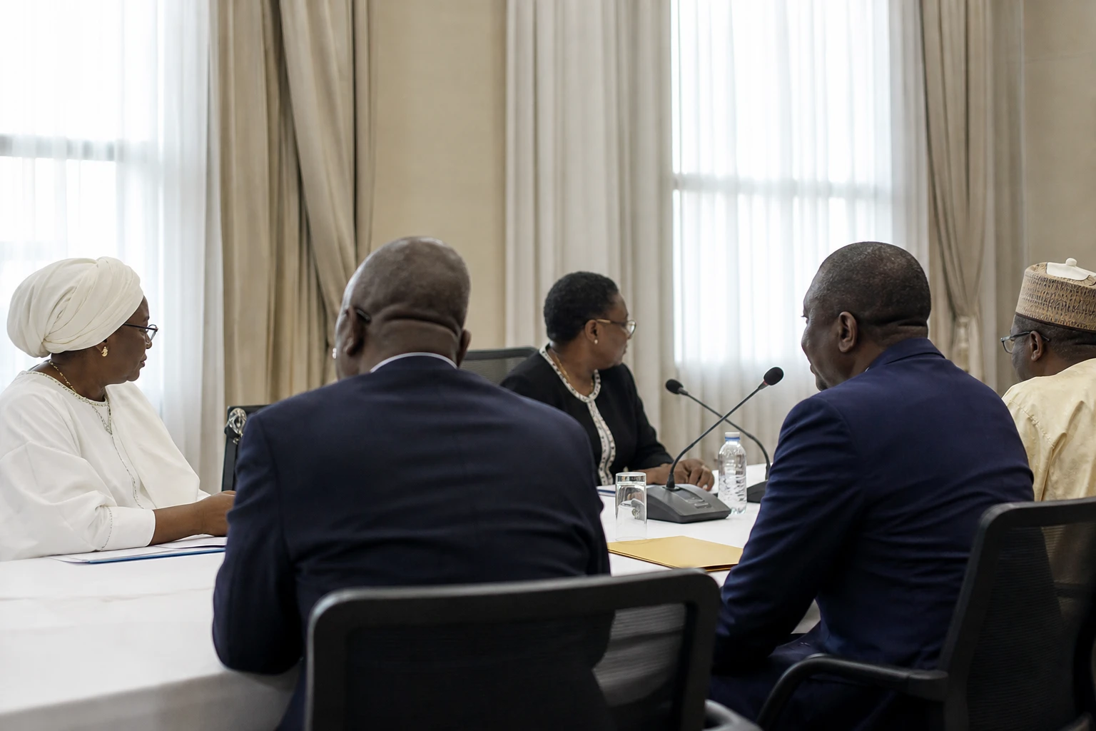
This context gives the incident a significance beyond a simple presentation blunder. At regional level, ECOWAS regularly discusses health sovereignty, patient mobility and the coordination of public policies. An error of this kind, made in front of African partners, is a reminder that how Africa is represented in international forums remains a political as well as a technical issue.
What happened in Rio
The scene unfolded during AIDS 2026, the 26th International AIDS Conference, held from 26 to 31 July 2026 in Rio de Janeiro by the International AIDS Society. The event brings together researchers, policymakers, healthcare workers and civil society organisations at a moment considered critical for the global HIV response. The World Health Organization and other institutions announced their official attendance, a sign of the importance of the discussions under way.
According to information verified by Reuters and carried by the international press, the map used in a State Department presentation contained a watermark pointing to artificial intelligence tools. OpenAI subsequently announced an internal investigation, while the State Department described it as an “unfortunate error” caused by a team member who had hastily modified the presentation before the speech. The official statement also accepted responsibility for the confusion caused among participants, “including our African partners”.
The map’s content was particularly shocking because of its accumulation of inaccuracies. Nigeria appeared as a landlocked country, Côte d’Ivoire had been moved to the east of the continent, and Mozambique was also shown outside its actual position in southern Africa. Cameroon appeared in the legend without a clear corresponding location on the map. In other words, this was not an isolated detail but a series of distortions affecting countries whose geographical locations are perfectly well known.
Why this matters to Ivorians, Nigerians and African partners
For Côte d’Ivoire, the issue is not limited to the irony of a badly drawn map. The country has already experienced the fragility of HIV programmes when US funding was disrupted. UNAIDS said in 2025 that almost all people living with HIV and receiving treatment in the country depended directly on the PEPFAR programme. That same year, the organisation welcomed Côte d’Ivoire’s commitment to increase domestic funding after cuts by some donors.
In other words, the issue is tangible. When Washington cuts, redirects or imposes conditions on its aid, the effects are felt in medicines, testing, supply chains and health jobs. Urban populations are often the first to feel disruptions at treatment centres, while rural areas are quicker to suffer distribution delays and follow-up problems. This is why debates about HIV are never purely diplomatic: they affect daily lives, public spending and states’ ability to meet their health commitments.
Nigeria, for its part, is among the countries most closely watched in the regional HIV response and discussions on health security in West Africa. Portraying it as landlocked is no trivial matter: it reduces a major coastal country, with a strategically important Atlantic coastline, to geographical fantasy. At a conference discussing medical logistics, supply chains and access to treatment, the error becomes a sign of institutional carelessness.
Beyond the blunder: information sovereignty and the future of health aid
The affair comes as Washington reshapes its health aid architecture. The State Department recently said it wanted to prioritise more targeted bilateral agreements, while several media reports have described a reallocation of spending and a gradual reduction in some areas of the HIV response, particularly prevention and surveillance. The most urgent treatment programmes have largely been maintained, but the overall balance of US aid remains in flux.
For Africa, this raises a simple question: who controls the narrative, the data and the tools used in multilateral forums? In global health, as in other fields, African countries are no longer content to wait for external validation. They are seeking to strengthen their own information systems, health statistics and planning capabilities. The Rio incident is a reminder that a poorly produced map can undermine a diplomatic message, but that a continent can also turn this kind of error into a useful reminder: Africa must be represented accurately, because this also shapes the quality of decisions affecting it.